What is recorded here
Holeopen, Cork: A circular earthen fort, about thirty metres across, stood on an east-facing slope above the bay. Farmers levelled it into tillage, erasing the ridge and gate. The land keeps the shape only in memory now, a quiet ring of soil and forgotten hands.
In tillage, on E-facing slope, Holeopen Bay to SW. Shown on 1842 OS 6-inch map as circular enclosure (diam. c. 30m). Levelled; no visible surface trace.
The above description is derived from the published 'Archaeological Inventory of County Cork. Volume 2: East and South Cork' (Dublin: Stationery Office, 1994). In certain instances the entries have been revised and updated in the light of recent research.
Date of upload/revision: 14 January 2009
The monument record does not grant public access. Check the route and ask the landowner before entering private land.
- What survives
- Recorded monument
Places near here
 Lispatrick Burial Gd (Children)Burial ground · 358 yd
 Old Head of KinsaleVisitor information · 1027 yd
 Lusitania MemorialMonument · 1029 yd
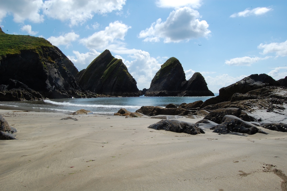 Minane IslandIsland · 1037 yd
 Lusitania MuseumMuseum · 1046 yd
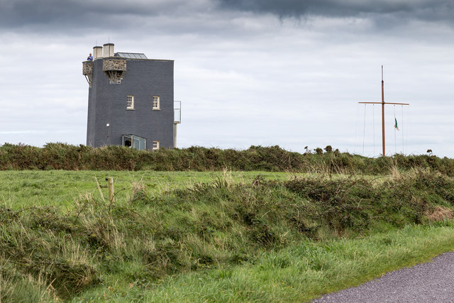
 Old Head of Kinsale Signal Towersignal tower · 1047 yd
 Old HeadViewpoint · 1107 yd
 Promontory fortPromontory fort, coastal · 1250 yd
 De Courcey CastleCastle · 1297 yd
 Bawn in Downmacpatrick OR Old HeadBawn · 1342 yd
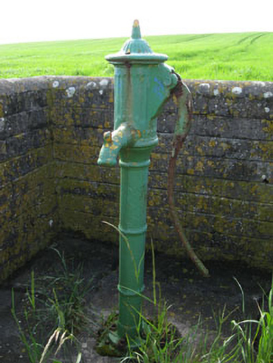 water pumpwater pump · 1607 yd
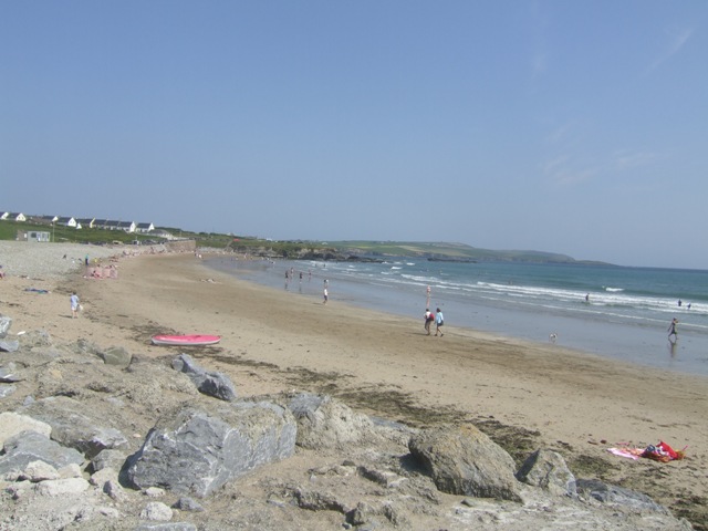 Garretstown StrandBeach / strand · 1.9 mi