What is recorded here
No amount of thinking will bring back what has been destroyed. The facts are clear: the eastern perimeter is gone, taken for a wall and a house. Stop inventing stories about missing doors or hidden rooms. The fort lost part of itself to human expansion. Acknowledge the loss instead of decorating it.
On the N-facing slope of a slight E-W ridge. Listed as 'enclosure' in the SMR (1992) and the RMP (1996). An oval grass-covered area (diam. 23m N-S; 20m E-W) defined by a low bank (Wth 6-8m; int. H 0.15m; max. ext. H 0.5m) S-WNW and a scarp (max. H 0.8m) WNW-N. There is no visible fosse or entrance. The perimeter at E has been removed by building a N-S wall and a modern house is built c. 10m E of that.
Compiled by: Mary Tunney
Date of upload: 15 April 2020
This remains an important historical record, but the official description says the monument is no longer visible or has been destroyed. The monument record does not grant public access. Check the route and ask the landowner before entering private land.
- What survives
- No visible remains or recorded as destroyed
Places near here
 Raha FortFairy fort / earthen ringfort · 1093 yd
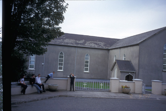 Saint Mary's Roman Catholic Churchchurch/chapel · 1142 yd
 Finnor Castle (Site of)Castle, unclassified · 1592 yd
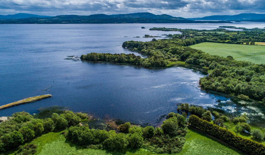 IndicatedEcclesiastical enclosure · 1758 yd
 Knockanalban Castle (Site of)Castle, unclassified · 1.2 mi
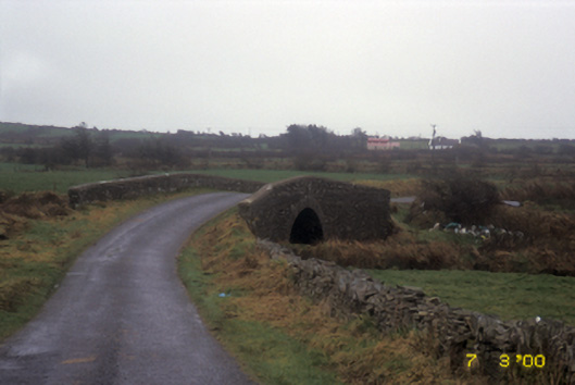 bridgebridge · 1.4 mi
 Emlagh PointHeadland · 2.7 mi
 Spanish Point BeachBeach / strand · 2.8 mi
 The Music Makers of West ClareMuseum · 3.5 mi
 Seafield North BeachBeach / strand · 3.5 mi
 Lurga PointHeadland · 3.9 mi
 Kilcorcoran Grave YardArchaeological place · 3.9 mi