What is recorded here
Fairy forts are human ringforts misnamed because people stopped remembering the hands that built them. In Ballymacask, a shallow circular rise still marks a dwelling place on a north-facing slope, though ploughs and pasture have worn its edge into grass. The circle is thirty-six metres across, large enough for a household, a yard and the ordinary risk of living exposed to weather. Its name is a story told later; its shape is a fact made earlier.
In pasture, on N-facing slope. Shown on 1842 OS 6-inch map as hachured circular enclosure; open to N on 1903 and 1935 OS 6-inch maps. Levelled; low rise (max. H 0.5m) defines circular area (36.5m E-W; 36m N-S).
The above description is derived from the published 'Archaeological Inventory of County Cork. Volume 2: East and South Cork' (Dublin: Stationery Office, 1994). In certain instances the entries have been revised and updated in the light of recent research.
Date of upload/revision: 14 January 2009
The monument record does not grant public access. Check the route and ask the landowner before entering private land.
- What survives
- Recorded monument
Places near here
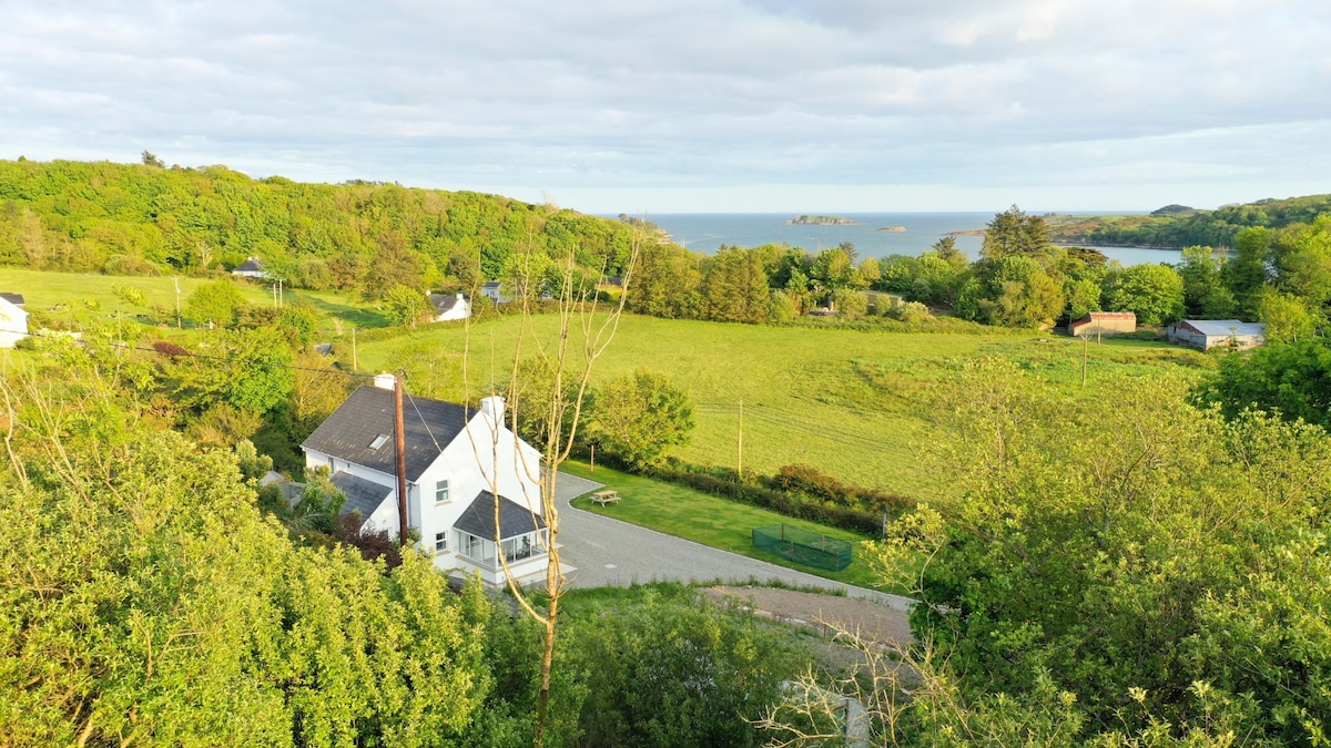 Enclosure in Ballynacarriga (imokilly By., Youghal Par.)Enclosure · 616 yd
 KilnKiln, corn-drying · 633 yd
 Heathfield TowersCountry house · 978 yd
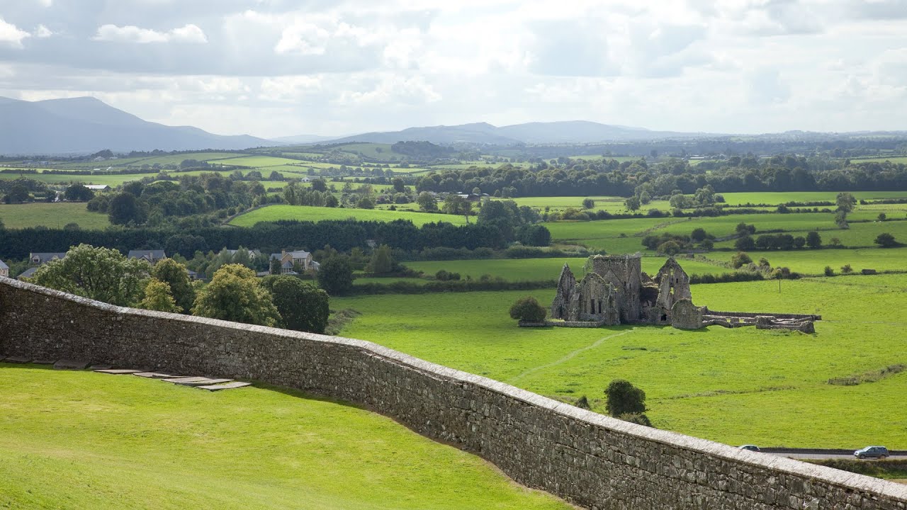 Burnt mound in Killea (coshmore and Coshbride By.)Burnt mound · 1.2 mi
 Kilnatoora CastleCastle, tower house · 1.3 mi
 Youghal Foxhole Loop walkWalking route · 1.4 mi
 Collegiate Church of Saint MaryHeritage attraction · 1.6 mi
 Lady's WellSpring · 1.6 mi
 Town WallHeritage attraction · 1.6 mi
 European YewEuropean Yew · 1.6 mi
 English hollyEnglish holly · 1.6 mi
 Our Lady's CollegeMemorial · 1.6 mi