What is recorded here
Fairy fort in Ballyluck, County Cork: a 39-metre earthen ring on a north-facing valley slope, its bank rising two and a half metres and dropping into an outer ditch. People farmed around it or passed it without explanation, while the gap at the southeast mouth invited imagination about who entered, when, and whether the fort still belonged to the living.
In tillage, on N-facing slope of valley running E towards the sea. Circular area (39m N-S; 39.2m E-W) enclosed by earthen bank (max. int. H 2.55m) W->SSW; scarp with internal lip SSW->W; external fosse E->SW. Bank stone faced in parts; gap to SE.
The above description is derived from the published 'Archaeological Inventory of County Cork. Volume 1: West Cork' (Dublin: Stationery Office, 1992). In certain instances the entries have been revised and updated in the light of recent research.
Date of upload/revision: 14 January 2009
The monument record does not grant public access. Check the route and ask the landowner before entering private land.
- What survives
- Recorded monument
Places near here
 telephone boxtelephone box · 471 yd
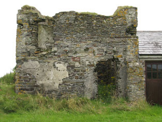 Galley Head Signal Towersignal tower · 598 yd
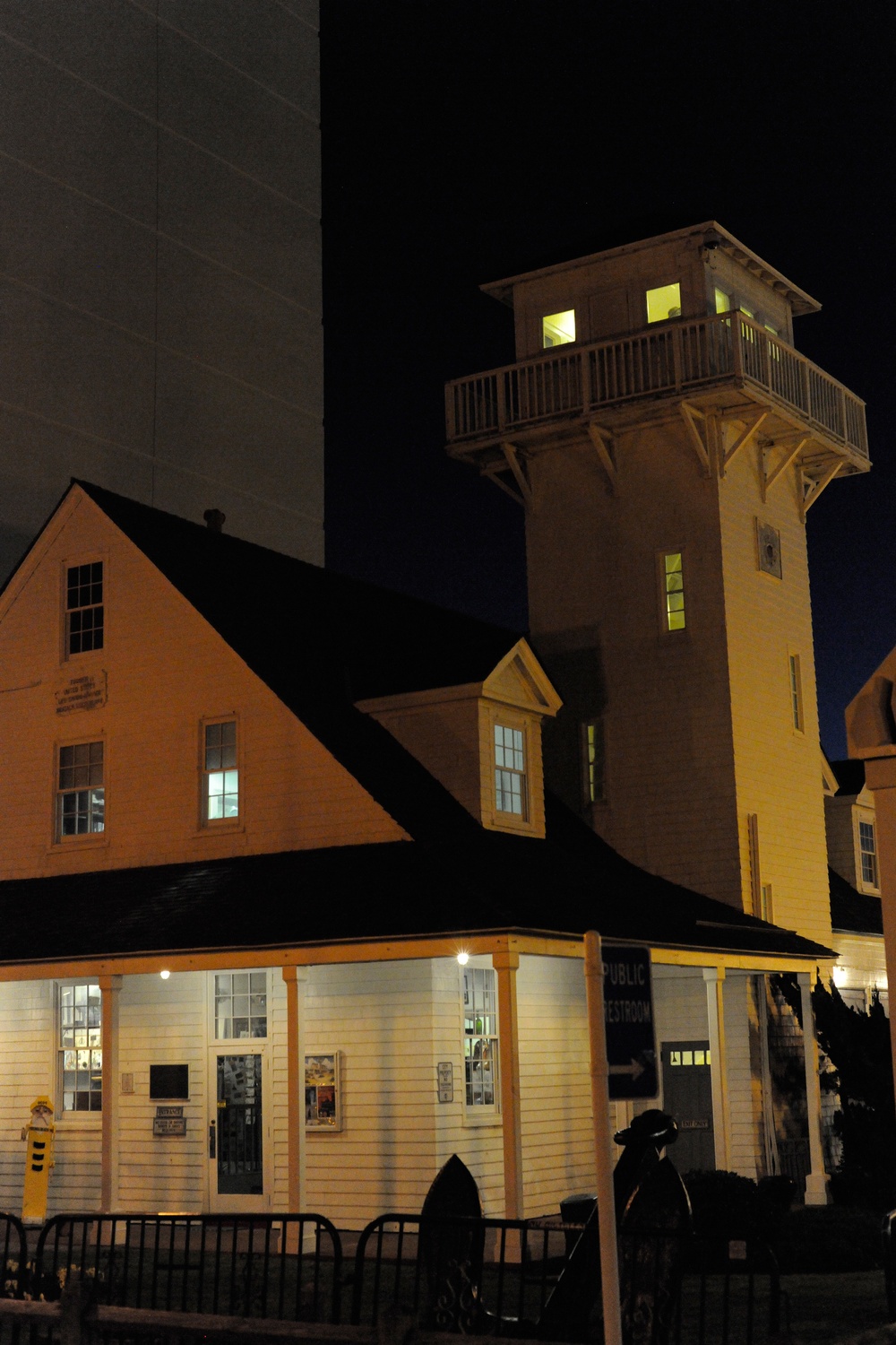 Old Coast Guard StationRuins · 680 yd
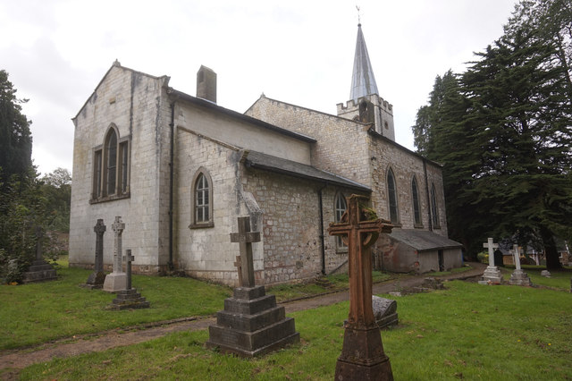 St. James WellSpring · 742 yd
 St James WellHoly well · 750 yd
 Man-made underground passage in ClooncunnigMan-made underground passage · 1198 yd
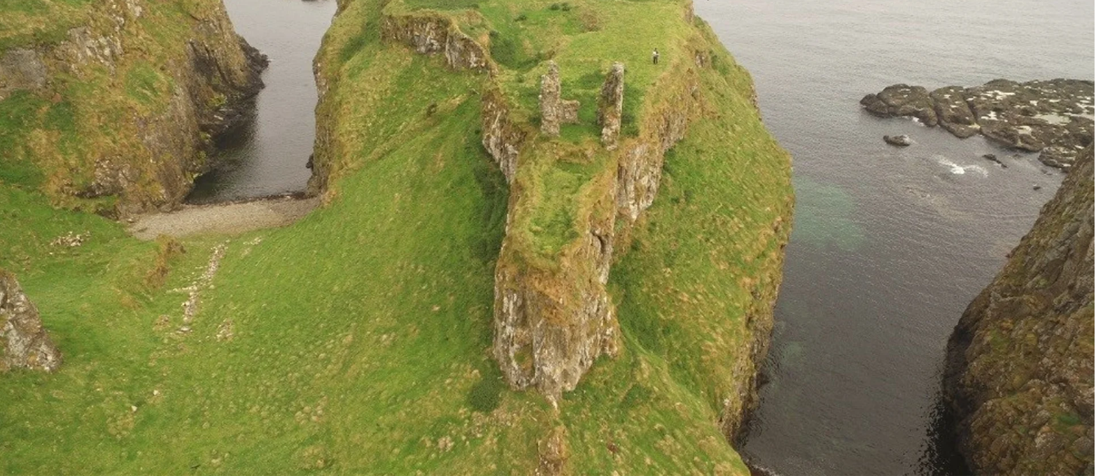 Dunnycove Castle (in Ruins)Castle, tower house · 1487 yd
 CastleCastle, unclassified · 1.1 mi
 Red StrandBeach / strand · 1.8 mi
 Inchydoney BeachBeach / strand · 2.4 mi
 Cottage MuseumMuseum · 2.5 mi
 Long Strand DunesNature reserve · 2.8 mi