What is recorded here
Ballylinane holds a sixteen-metre earthen ring where mature trees grip the scarped edge and cattle steadily erase the boundary. The fort has watched ordinary pasture for generations, its shallow fosse and level grass interior reducing ancient defensiveness to a quiet circle under open sky. What lived there before memory is gone, but the shape remains clear enough to suggest people once drew a line around their own world.
In level dry pasture. Circular area (diam. 16m) defined by scarped edge (H 1.35m; Wth 1.6m) with external fosse (D 0.2m; Wth 2m). Mature trees grow along scarped edge which is eroded by cattle accessing interior. Interior level and under grass.
Compiled by: Denis Power
Date of upload: 26 August 2011
The monument record does not grant public access. Check the route and ask the landowner before entering private land.
- What survives
- Recorded monument
Places near here
 Moated site in ArranaghMoated site · 903 yd
 Enclosure in GardenfieldEnclosure · 1056 yd
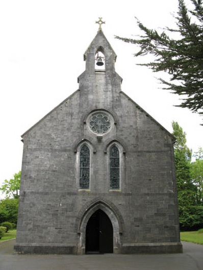 Saint Mary's Catholic Churchchurch/chapel · 1475 yd
 Church (in ruins)Church · 1521 yd
 Dotted outlineBawn · 1.6 mi
 Glenquin CastleCastle · 1.6 mi
 Saint Ite's WellSpring · 1.7 mi
 Ballagh MountainMountain / peak · 2.7 mi
 TobereenalaffinaSpring · 3.6 mi
 Sugar HillMountain / peak · 4.0 mi
 Limerick GreenwayWalking route · 4.2 mi
 Mullaghareirk - Banane LoopWalking route · 6.6 mi