What is recorded here
Clear the black thorn from the entry gap and the fort returns. Thirty-five metres of marl, scarped and ditched, waits beneath the branches with one thin break where cattle have dragged themselves through for generations. The fairies keep the chamber, but people have always walked it when the thorn was cut back.
In pasture, atop slight rise in marshy ground. Circular area (diam. c. 35m) enclosed by earthen bank (int. H 0.75m; ext. H 1.8m) SSE->NNW, and defined by scarped edge (H 0.7m; Wth 1.3m) NNW->SSE, with external fosse (D 0.8m; Wth 2.2m) all around, and counterscarp bank (int. H 1.05m; ext. H 0.25m) SSE->NNW. Narrow break in bank at WNW probably caused by cattle accessing interior. Banks and fosse covered by undergrowth with mature trees growing on both banks. Interior covered by dense overgrowth except E third which is under rough pasture.
Compiled by: Denis Power
Date of upload: 26 August 2011
The monument record does not grant public access. Check the route and ask the landowner before entering private land.
- What survives
- Recorded monument
Places near here
 Fulacht fia in Commons (shanid By.)Fulacht fia · 722 yd
 Enclosure in Ballylin (shanid By., Ardagh Ed)Enclosure · 768 yd
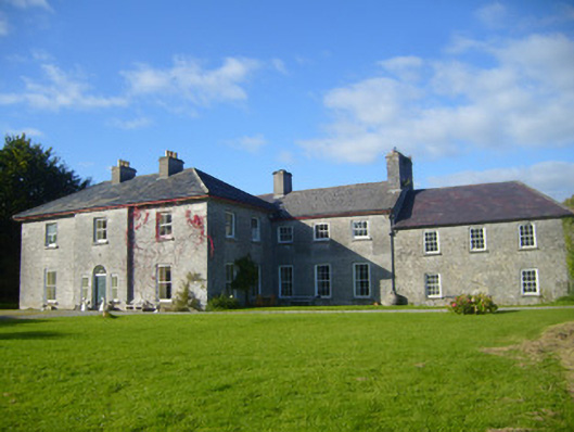 Glenville Housecountry house · 1027 yd
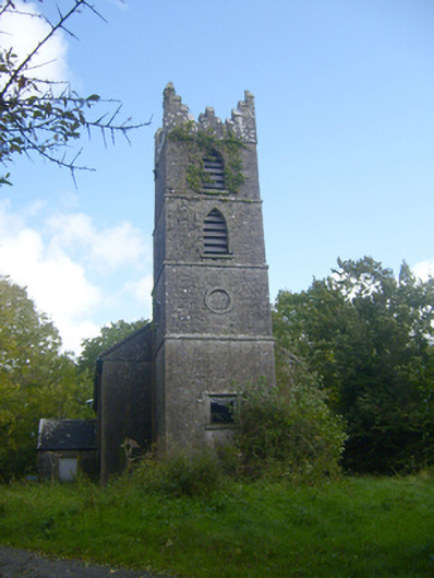 Rathronan Churchchurch/chapel · 1047 yd
 CahermoyleCastle, unclassified · 1.2 mi
 St. Luke's WellSpring · 1.5 mi
 Castle (in ruins)Castle, tower house · 2.0 mi
 St. Kieran's WellSpring · 3.1 mi
 Limerick GreenwayWalking route · 4.1 mi
 European ashEuropean ash · 5.1 mi
 Sugar HillMountain / peak · 5.7 mi
 Monterey CypressMonterey Cypress · 8.0 mi