What is recorded here
Mortons and others still call it a fairy fort, but the measurements describe an ordinary human ringfort: a circular grassy area thirty-four metres across, enclosed by an earthen bank, a wet outer ditch and a second low bank beyond it. The southeast gap is wide enough for a person, cart or herd to pass, while the western bank has been worn or cut low enough to suggest repeated use at one particular point. Trees have since grown inside the circle, softening the edges of a place where people may have kept animals, stored things or simply marked their own territory long before the fairy name arrived.
In pasture, on gentle SE-facing slope. Circular area (33.5m N-S; 34m E-W) enclosed by earthen bank with external fosse and counterscarp bank. Bank (int. H 0.65m; ext. H 2.35m) becomes low internally (H 0.3m) at W, with gap (Wth 5.5m) at SE. Fosse waterlogged SSE->W and damp everywhere; recent drainage trench feeds into fosse at W. Low counterscarp bank (int. H 1.55m; ext. H 0.25m) evident NW->SE. Interior slopes very slightly down to SE. Interior and bank covered by mature deciduous trees.
Compiled by: Denis Power
Date of upload: 26 August 2011
The monument record does not grant public access. Check the route and ask the landowner before entering private land.
- What survives
- Recorded monument
Places near here
 Enclosure in Ballylin (shanid By., Ardagh Ed)Enclosure · 492 yd
 Fulacht fia in Commons (shanid By.)Fulacht fia · 562 yd
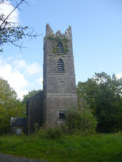 Rathronan Churchchurch/chapel · 1176 yd
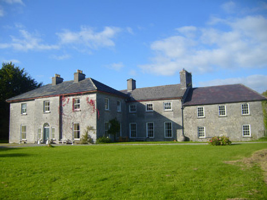 Glenville Housecountry house · 1339 yd
 CahermoyleCastle, unclassified · 1.4 mi
 St. Luke's WellSpring · 1.7 mi
 Castle (in ruins)Castle, tower house · 2.1 mi
 St. Kieran's WellSpring · 3.3 mi
 Limerick GreenwayWalking route · 3.9 mi
 Sugar HillMountain / peak · 5.6 mi
 Monterey CypressMonterey Cypress · 7.9 mi
 Prospect HillMountain / peak · 8.0 mi