What is recorded here
Fairy fort / earthen ringfort in Ballylin (connello Lower By.) stands in undulating pasture on a W-facing slope, a circular area 28m N-S and 27.5m E-W enclosed by an earth-and-stone bank with an external fosse. The bank reaches 1.1m externally and becomes 2.8m wide where its stone facing remains best preserved, while the fosse is littered with fallen stone and partly hidden by vegetation. Its level interior is covered by mature trees, and a field boundary skirts the enclosure at E, leaving the old ring half-swallowed but still shaped by human hands.
In undulating pasture, on W-facing slope. Circular area (28m N-S; 27.5m E-W) enclosed by earth-and-stone bank, with external fosse (D 0.2m; Wth 1.2m) SE->N. Bank (int. H 0.6m; ext. H 1.1m), stone-faced externally, is best preserved N->S; it becomes wide and flat-topped (Wth 2.8m) NW->NNE where stone-facing is best preserved. Fosse, which is masked by vegetation overgrowth, is littered with stone from collapsed facing of bank. Level interior covered by mature trees. Field boundary (axis N-S) skirts enclosure at E.
Compiled by: Denis Power
Date of upload: 26 August 2011
The monument record does not grant public access. Check the route and ask the landowner before entering private land.
- What survives
- Recorded monument
Places near here
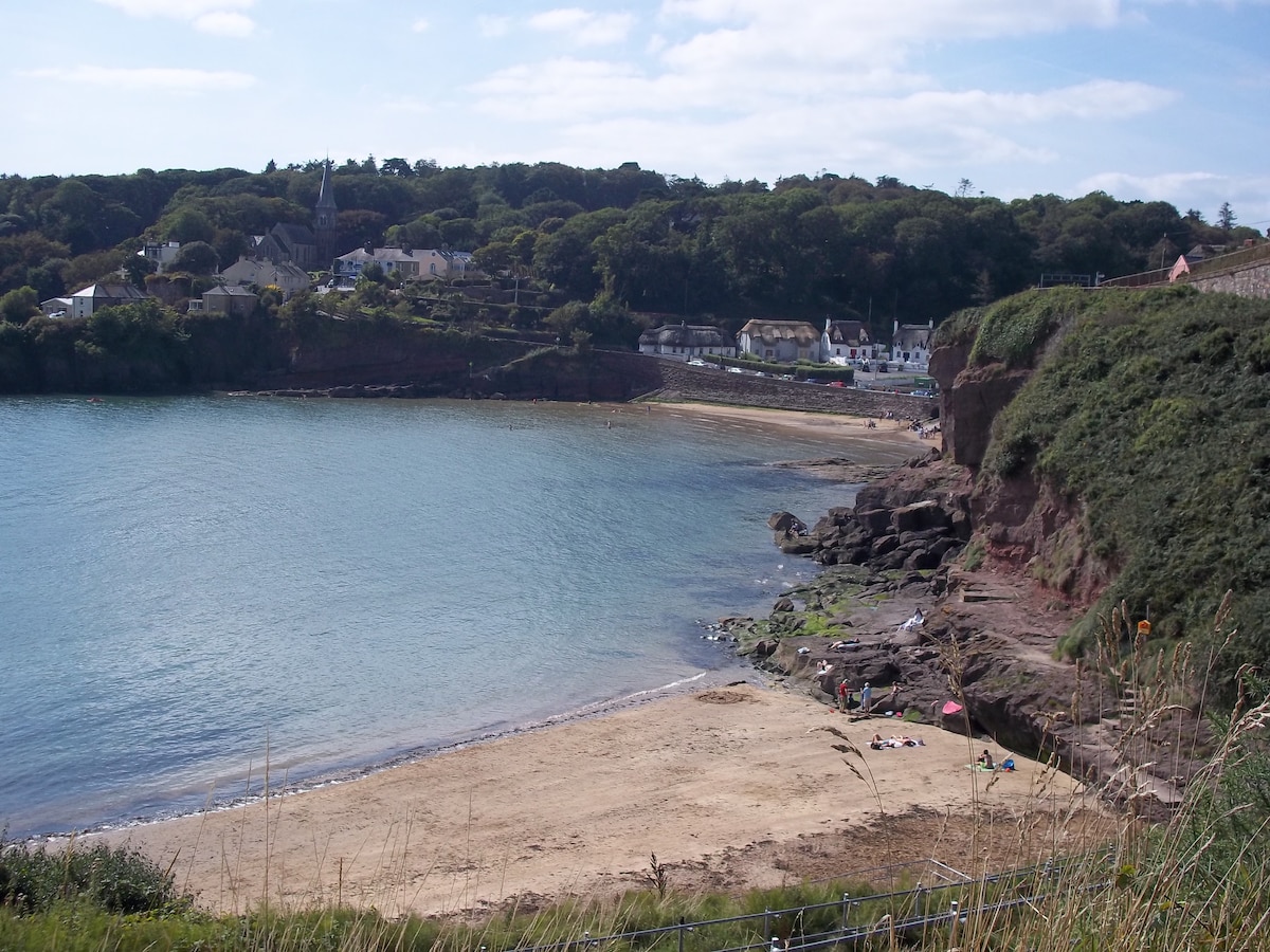 Enclosure in KilleaEnclosure · 914 yd
 IndicatedFairy fort / earthen ringfort · 1166 yd
 Bawn in Amogan MoreBawn · 1.1 mi
 Church (in Rns)Church · 1.2 mi
 Castle (in ruins)Castle, unclassified · 1.2 mi
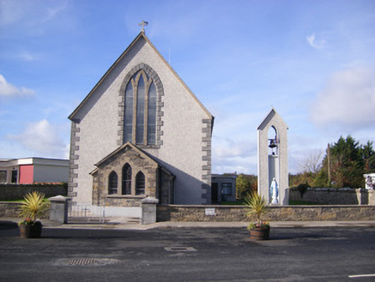 Catholic Church of Saint John the Baptistchurch/chapel · 1.2 mi
 Flat cemetery in Kiltenan SouthFlat cemetery · 1.3 mi
 Flat cemetery in CroaghFlat cemetery · 2.1 mi
 Kinnoor WellSpring · 3.4 mi
 KnockfeerinaMountain / peak · 3.8 mi
 GinkgoGinkgo · 4.5 mi
 European YewEuropean Yew · 4.6 mi