What is recorded here
Indicated on the 1st (1839) ed. OS 6-inch map as a roughy oval enclosure (diam. c. 68m N-S; c. 60m E-W). It survives as a slightly domed, roughly circular area (int. diam. c. 33m) enclosed by low, wide earthen bank. The bank in the W-NW sector has been modified by a field boundary running roughly N-S. A quarry immediately to the NE has encroached into the NE quadrant of the monument.
Compiled by: Jean Farrelly
Date of upload: 29 July 2019
The monument record does not grant public access. Check the route and ask the landowner before entering private land.
- What survives
- Recorded monument
Places near here
 Ballylarkin Upper RingfortArchaeological place · 23 yd
 Site of English's houseArchaeological place · 353 yd
 The PondsForest · 510 yd
 Abbey in ruinsChurch · 702 yd
 CastleCastle, motte · 719 yd
 The CopseWood · 721 yd
 Upper CourtCastle, unclassified · 770 yd
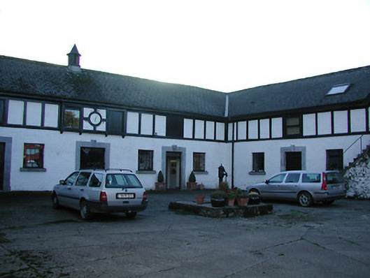 Uppercourt Housestables · 781 yd
 Freshford LoopWalking route · 829 yd
 Emma Jane Browne-ClaytonMemorial · 1741 yd
 Clomantagh HillMountain / peak · 3.8 mi
 DelaneyMemorial · 5.9 mi