What is recorded here
Mortons and others may have built the Ballylanders fort, yet the fairies took it back. They prefer strong walls and dark water, so human claims often sound like trespass in their territory.
In pasture, on SW-facing slope. Circular area (c. 40m N-S; 36.5m E-W) enclosed by substantial earthen bank (H 3.7m), with shallow external fosse to E, S and W. Shallow fosse appears to survive between bank and field boundary to N. Entrance (Wth 5m) to SW with some stone facing.
The above description is derived from the published 'Archaeological Inventory of County Cork. Volume 2: East and South Cork' (Dublin: Stationery Office, 1994). In certain instances the entries have been revised and updated in the light of recent research.
Date of upload/revision: 14 January 2009
The monument record does not grant public access. Check the route and ask the landowner before entering private land.
- What survives
- Recorded monument
Places near here
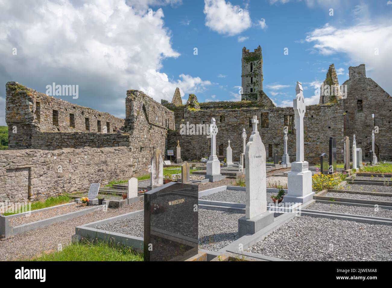 Grave Yard (Site of)Burial ground · 417 yd
 Grave YdGraveyard · 467 yd
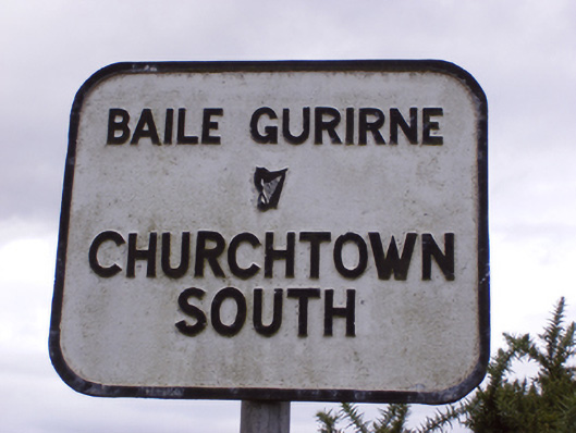 sign postsign post · 573 yd
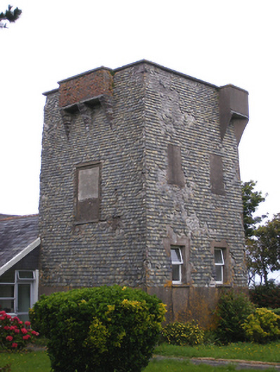 Ballmacotter Castlesignal tower · 821 yd
 Ballycroneen BeachBeach / strand · 1.9 mi
 Ballybrannigan BeachBeach / strand · 2.5 mi
 Anchor The SagaMemorial · 2.8 mi
 Mary StandfordMemorial · 2.9 mi
 P.N.L.B. Mary StandfordWreck · 2.9 mi
 CastleCastle, tower house · 3.1 mi
 Ballycotton Island (Small)Islet · 3.4 mi
 Ballycotton IslandIslet · 3.8 mi