What is recorded here
Fairy fort / earthen ringfort in Ballyknock is a fairy fort or earthen ringfort in Ballyknock, County Tipperary, Ireland. It occupies a circular area 26 metres east-west and 25 metres north-south, bounded by an earthen bank 8.6 metres wide overall and 2.75 metres wide at the top. The bank stands 0.5 metres high inside and 0.6 metres high outside, with its best preservation running from southwest to north. A steep drop on the southeast side leads to a retaining wall built against cut ground for a recent development.
In improved pasture, in fenced-off area of small quarry. Circular area (dims. 26m E-W; 25m N-S) defined by earthen bank (Wth at top 2.75m; total Wth 8.6m; int. H 0.5m; ext. H 0.6m) which is best preserved SW-N. Bank (Wth at top 3.6m; total Wth 8.3m; int. H 0.9m; ext. H 0.15m) is lower N-SW and exterior truncated by field boundary to NE and SE. Steep drop to retaining wall of recently constructed development, which is built up against cut ground along SE-side of monument. Interior slopes down sharply to SSE and has an uneven area off-centre to SSE, which may have been excavated and backfilled. Large oblong quarried area (long-axis NNE-SSW) flanked by bank along WNW-side, is c. 4m to SW. On the 2nd (1952-54) ed. OS 6-inch map (overall dims. 63m N-S; 48m E-W) and on a sketch plan and sections drawn in 1954 there is a wide external fosse (OS Field Memorandums).
Compiled by: Jean Farrelly
Date of upload: 26 August 2011
The monument record does not grant public access. Check the route and ask the landowner before entering private land.
- What survives
- Recorded monument
Places near here
 Ballyknock HillMountain / peak · 441 yd
 Enclosure in BallyknockEnclosure · 762 yd
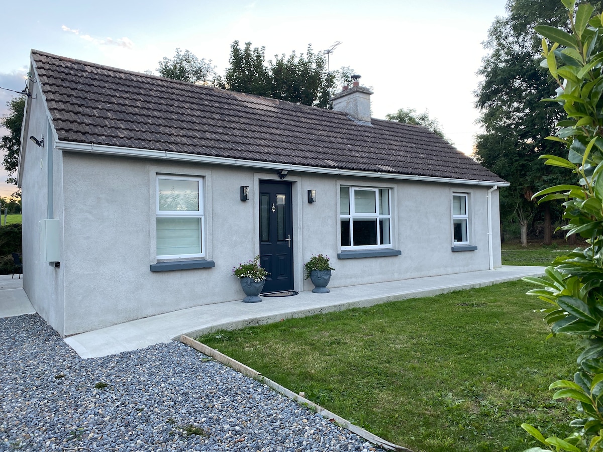 Enclosure in Hughes'-Lot EastEnclosure · 940 yd
 Gortmakellis CastleCastle · 1557 yd
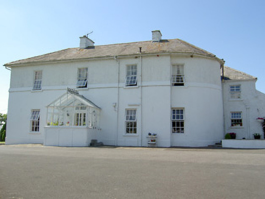 Hill Househouse · 1736 yd
 DuvcloyRoad, hollow-way · 1.0 mi
 The Rock Of CashelVisitor information · 1.3 mi
 Cormac's ChapelHeritage attraction · 1.3 mi
 Rock of CashelHeritage attraction · 1.4 mi
 Black mulberryBlack mulberry · 1.4 mi
 Castle in RuinsHouse, fortified house · 1.6 mi
 Dundrum Woods (Marl Bog)Forest · 8.4 mi