What is recorded here
Fairy forts in County Limerick were once thought magical, but archaeology shows they were ordinary human dwellings. Ballykenny held one such ringfort, now mostly levelled but still marking the earth with a faint scarped edge and shallow fosse. The land has swallowed much of its shape, yet the boundary remains visible enough to imagine the lives that once turned it into a home.
In level pasture. Monument, depicted on 1924 OS 6-inch map as embanked circular enclosure (diam. c. 30m), has been levelled. However, enclosing element is still discernible SW->NW as a scarped edge (H 0.15m; Wth 2m) with external fosse (Wth 3m) and counter-scarp bank (int. H 0.1m; ext. H 0.15m). Interior level and under grass; shallow depression in NE quadrant was, according to local information, deeper until recently filled in.
Compiled by: Denis Power
Date of upload: 26 August 2011
The monument record does not grant public access. Check the route and ask the landowner before entering private land.
- What survives
- Recorded monument
Places near here
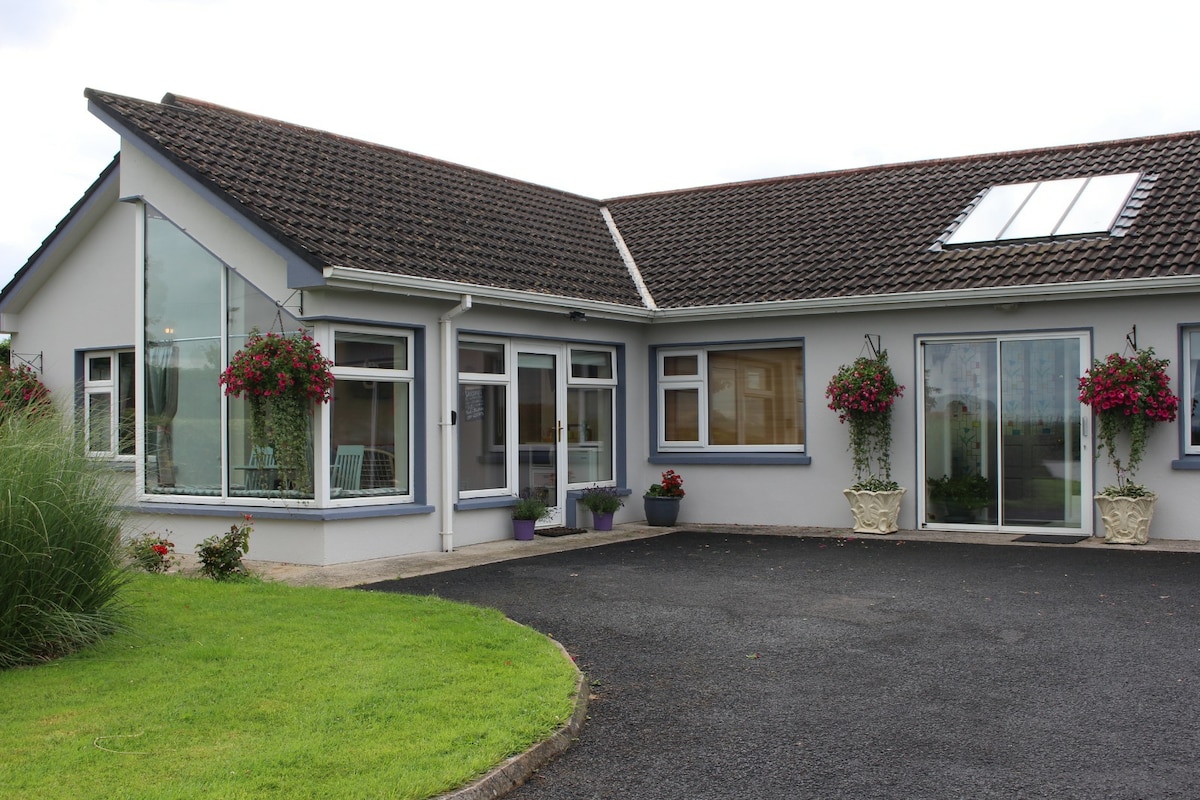 Enclosure in CamasEnclosure · 866 yd
 Moated site in ArranaghMoated site · 1445 yd
 Dotted outlineBawn · 1492 yd
 Saint Ite's WellSpring · 1628 yd
 Killeedy Church (in ruins)Church · 1642 yd
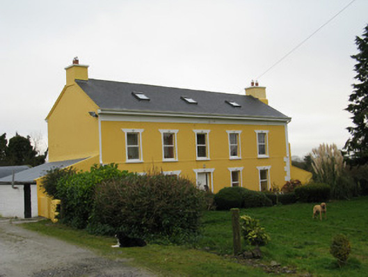 Camas Househouse · 1.2 mi
 Glenquin CastleCastle · 1.6 mi
 Ballagh MountainMountain / peak · 2.1 mi
 TobereenalaffinaSpring · 4.3 mi
 Barnagh HillMountain / peak · 4.8 mi
 Limerick GreenwayWalking route · 5.1 mi
 Mullaghareirk - Banane LoopWalking route · 5.8 mi