What is recorded here
On a N-facing slope in hilly terrain in rough pasture. A circular area (dims. 39m N-S; 37.5m E-W) enclosed by an earthen and stone bank (Wth 0.8-1.8m crest, 3.8m base; int. H 0.86-1m; ext. H 0.92-1.2m), with hazelnut trees growing on the bank. There is evidence of a stone revettment at the base of the external face of the bank in the E quadrant and a possible internal revettment in the N quadrant. There is collapsed stone at the base of the outer face of the bank in the W quadrant. The bank is breached in the SE quadrant (Wth 2m) enabling tractor access to the interior. In the NE quadrant there is a gap in the bank (Wth c. 2m) which is heavily overgrown with brambles. The interior slopes to the N and is somewhat cattle poached, there is scrub in the N quadrant and a ring-feeder in the NE quadrant.
Compiled by: Jean Farrelly
Date of upload: 26 August 2011
The monument record does not grant public access. Check the route and ask the landowner before entering private land.
- What survives
- Recorded monument
Places near here
 Burncourt Old Br.Bridge · 672 yd
 Burncourt CastleCastle · 748 yd
 Rehill WoodForest · 806 yd
 Church in BurncourtChurch · 1350 yd
 Enclosure in BurncourtEnclosure · 1589 yd
 IndicatedBawn · 1.0 mi
 Boulakennedy WoodForest · 1.4 mi
 Piper's FortArchaeological place · 1.6 mi
 Mitchelstown CaveCave · 2.2 mi
 Ronald Reagan CentreHeritage attraction · 3.7 mi
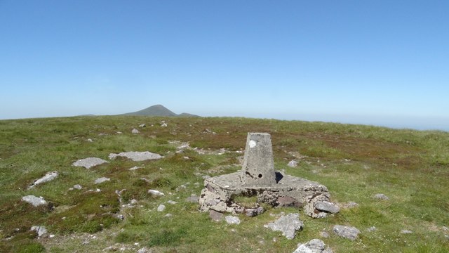 GreenaneMountain / peak · 3.9 mi
 LaghtshanaquillaMountain / peak · 4.1 mi