What is recorded here
Fairy fort in Ballyhugh, County Cavan, is an oval earthen ringfort on a west-facing slope, with a grass-covered interior nearly sixty metres long and a broken perimeter of scarp, berm and fosse. People may have lived inside, feared the dark or simply followed the curve of the ground when the shape was new.
Located on an undulating shelf towards the bottom of a W-facing slope where the ground slopes down generally to the S and W. This is an oval, grass-covered area (dims 59m NNE-SSW; c. 49m WNW-ESE) defined by a scarp (H 1m at SW to 1.5m at W) S-W-NNE, with an outer berm (Wth c. 3m; ext. H 0.8m) NNW-N that morphs into a fosse (Wth of top 7.6m; Wth of base 2.5m; int. D 0.6m; ext. H 0.3m) N-NNE, but the perimeter cannot be traced NE-S. There are slight traces of an inner bank represented by a slight scarp (Wth c. 2m; H c. 0.1m) about 15m inside the perimeter SW-SW. It is visible on Bing images (c. 2013).
Compiled by: Michael Moore
Date of upload: 11 September, 2015
The monument record does not grant public access. Check the route and ask the landowner before entering private land.
- What survives
- Recorded monument
Places near here
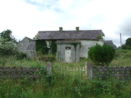 Carn Lodgehouse · 579 yd
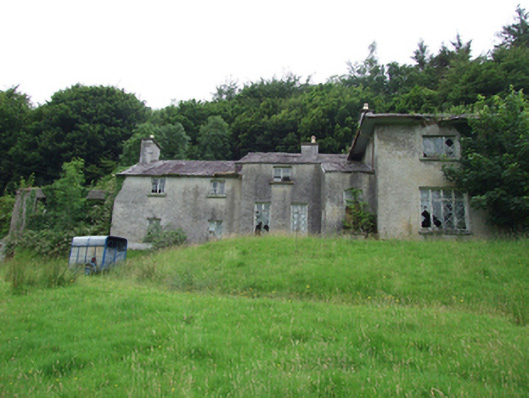 Carn Cottagehouse · 723 yd
 TobermogueHoly well · 1309 yd
 IndicatedFairy fort / earthen ringfort · 1.6 mi
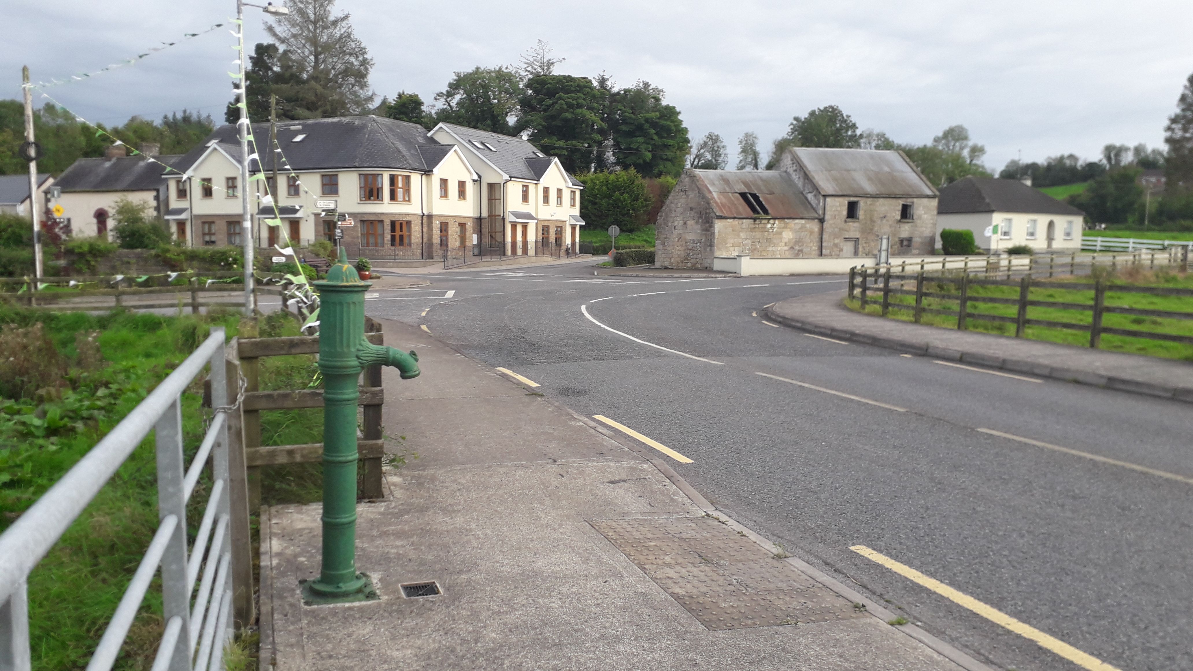 Milltown NorthWood · 2.0 mi
 ClonkeenMountain / peak · 2.1 mi
 Bilberry HillMountain / peak · 2.2 mi
 CastleCastle, unclassified · 2.6 mi
 Drumbagh ForestForest · 2.7 mi
 Kieran Doherty TD Cavan Monaghan MemorialMonument · 2.9 mi
 Drumlane AbbeyHeritage attraction · 3.1 mi
 Killycluggin StoneVisitor information · 3.8 mi