What is recorded here
Situated on what might be a slight rise on a gently undulating low-lying landscape. In July 2018 a drone-mounted camera operated by Páid Bates (Skypix Aerial Works) recorded an image of the cropmark of a circular enclosure (int. diam. c. 40m) defined by a single fosse feature (Wth c. 5m) with an entrance gap (Wth c. 5m) at NE.
See the attached aerial view taken from SW, courtesy of Skypix Aerial Works
Compiled by: Michael Moore
Date of upload: 2 January 2019
The monument record does not grant public access. Check the route and ask the landowner before entering private land.
- What survives
- Recorded monument
Places near here
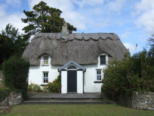 farm housefarm house · 1273 yd
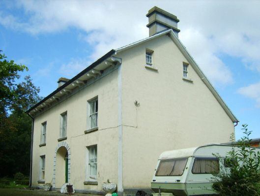 Ballymore Housefarm house · 1366 yd
 Holy well in Ballymore (ballaghkeen By.)Holy well · 1.1 mi
 Font (present location) in Ballinacoola MoreFont (present location) · 1.1 mi
 Ballywish SouthForest · 1.2 mi
 CastleCastle, motte · 1.5 mi
 Rectory Hall ForestWood · 1.6 mi
 Peace GardenMemorial · 1.6 mi
 IndicatedCastle, unclassified · 1.7 mi
 1798 MemorialMemorial · 1.8 mi
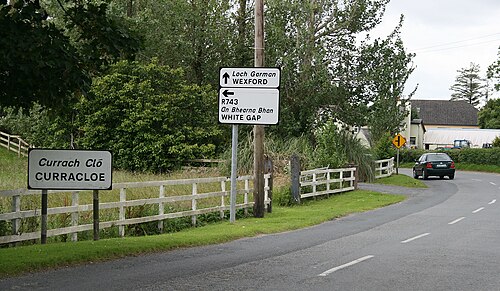 Curracloe BeachBeach / strand · 2.6 mi
 Ballinesker BeachBeach / strand · 2.6 mi