What is recorded here
Fairy fort in Ballyhooly South: a 34.5-metre earthen ring on a gentle east-facing slope, partly cut back by a road but still marked by a low stone-faced bank. Called a lios locally, it may have been a boundary marker, a burial place, or a small stronghold before the field took it over. The road did not erase it; it only trimmed the circle, leaving enough shape for the land to keep remembering.
In pasture, on gentle E-facing slope. Circular area (34.5m E-W; 32m N-S) defined by earthen bank (int. H 0.6m; ext. H 1.4m) NE->SW; truncated by road boundary SW->NW; levelled bank visible as low rise NW->NE. Bank stone-faced externally, similar to field boundary. Locally known as a "lios".
The above description is derived from the published 'Archaeological Inventory of County Cork. Volume 4: North Cork' (Dublin: Stationery Office, 2000). In certain instances the entries have been revised and updated in the light of recent research.
Date of upload/revision: 14 January 2009
The monument record does not grant public access. Check the route and ask the landowner before entering private land.
- What survives
- Recorded monument
Places near here
 Enclosure in Ballyhooly NorthEnclosure · 401 yd
 Enclosure in Ballyhooly SouthEnclosure · 965 yd
 railway stationrailway station · 1.0 mi
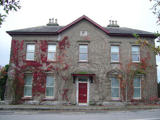 The Mansionhouse · 1.4 mi
 Blackwater (Avondhu) WayWalking route · 1.6 mi
 Ballyhooly CastleCastle · 1.6 mi
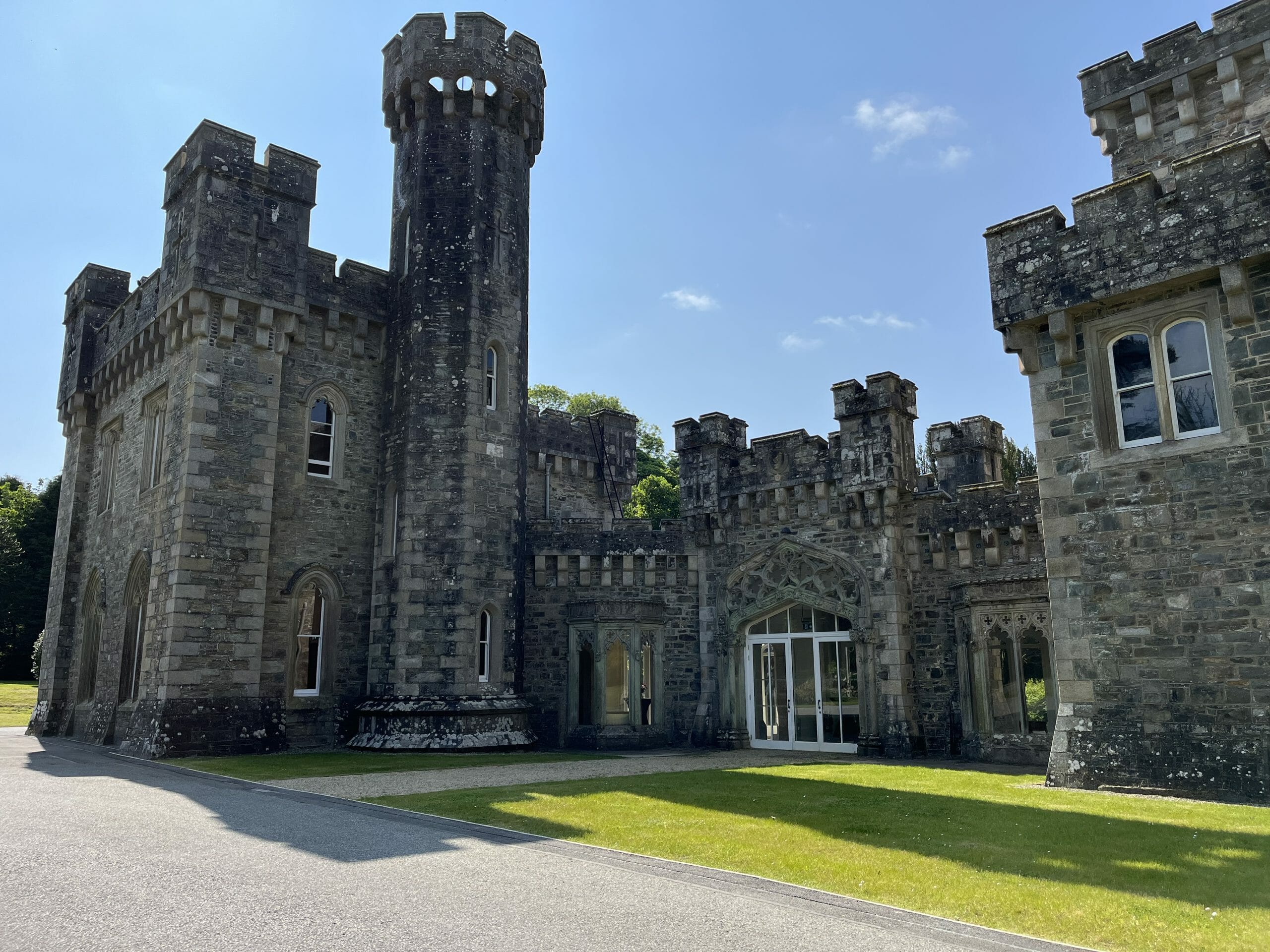 CastleCastle, unclassified · 1.7 mi
 Johnson's WoodForest · 2.1 mi
 Priest's WoodForest · 2.2 mi
 Graveyard in BoherashGraveyard · 2.4 mi
 St Dominick's WellSpring · 2.5 mi
 Anne's Grove GardensHeritage attraction · 3.5 mi