What is recorded here
Fairy forts are not fairy forts. They are human ringforts, circular and deliberate, built by living people who owned or farmed the land. The fairy name comes later, when memory thins and people stop wanting to admit that ordinary humans lived there.
In tillage, on N-facing slope. Circular area (20.7m E-W; 20.3m N-S) enclosed by earthen bank (int. H 0.55m); external fosse (max. D 1m) SSE->NNE. Interior slopes down to N; used for grazing. Once part of Roche Mount estate; planted with trees.
The above description is derived from the published 'Archaeological Inventory of County Cork. Volume 2: East and South Cork' (Dublin: Stationery Office, 1994). In certain instances the entries have been revised and updated in the light of recent research.
Date of upload/revision: 14 January 2009
The monument record does not grant public access. Check the route and ask the landowner before entering private land.
- What survives
- Recorded monument
Places near here
 Trabolgan Housegate lodge · 588 yd
 Enclosure in ArdnabourkeyEnclosure · 937 yd
 Long OrchardWood · 1206 yd
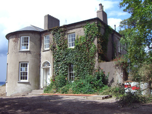 rectory/glebe/vicarage/curate's houserectory/glebe/vicarage/curate's house · 1429 yd
 Trabolgan Holiday VillageHeritage attraction · 1642 yd
 Mound in CorkbegMound · 1725 yd
 Whitegate War MemorialMemorial · 1.1 mi
 Grave of Major Geoffrey Lee Compton-Smith, D.S.O.Memorial · 1.2 mi
 Castle (in Ruins)Castle, unclassified · 1.6 mi
 CastleCastle, unclassified · 1.7 mi
 Roches PointHeadland · 1.7 mi
 Long PointHeadland · 1.8 mi