What is recorded here
Fairy fort in Ballyhist, County Meath, is a circular grass-covered area forty metres across, bounded by an earthen bank and outer fosse on a south-facing slope. Its southeast entrance and preserved cultivation ridges suggest people farmed or lived there before the land became a story. The shape still holds like a forgotten room, waiting for someone to remember what it kept.
Located towards the bottom of a S-facing slope. This is a circular grass-covered area (diam. 41.5m NNE-SSW; 40m WNW-ESE) that slopes down to the S (H 1.8m). It is defined by an earthen bank (Wth of base 7-8m; int. H 0.2m at S to 1.1m at N; ext. H 1.9m at S to 2.3m at N) and an outer fosse (at NNW: Wth of top 14m; ext. D 1m) that is reduced to a berm (at SSE: Wth 2m) NNE-S-W. The entrance (Wth of base 3.1m) is at SE and relict NE-SW cultivation ridges are preserved in the interior.
The above description is derived from the published 'Archaeological Inventory of County Meath' (Dublin: Stationery Office, 1987). In certain instances the entries have been revised and updated in the light of recent research.
Compiled by: Michael Moore
Date of revision: 25 February 2019.
The monument record does not grant public access. Check the route and ask the landowner before entering private land.
- What survives
- Recorded monument
Places near here
 Ballyhist WoodWood · 446 yd
 Balgree MoteCastle, motte · 552 yd
 IndicatedFairy fort / earthen ringfort · 659 yd
 CastleCastle, motte and bailey · 973 yd
 Stone CrossCross, Wayside cross · 1169 yd
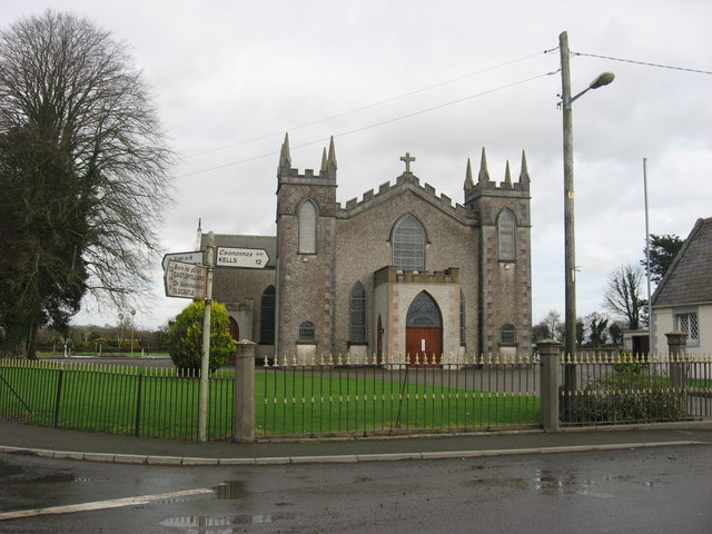 Catholic Church of the Assumptionchurch/chapel · 1.1 mi
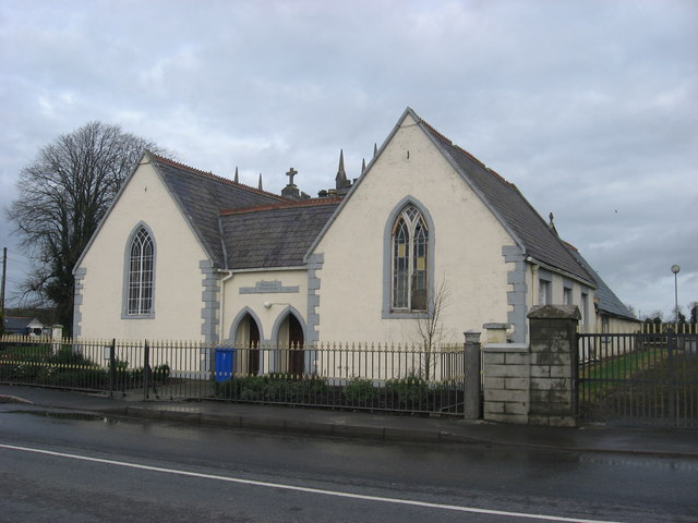 Ballinlough National Schoolschool · 1.1 mi
 Woodpole Fox CovertWood · 1.4 mi
 Oliver Plunkett memorialMemorial · 3.0 mi
 MaperathMountain / peak · 3.7 mi
 IslandboyIslet · 4.0 mi
 Slieve Na CalliaghMountain / peak · 4.1 mi