What is recorded here
Fairy forts are often called raths because people believed fairies lived inside them. That belief is a story, not a proven fact. The visible fortress has disappeared, but the names and shapes remain. They record human wonder, fear and memory.
In pasture, on gentle NW-facing slope. Monument, depicted as circular embanked enclosure (diam. c. 40m) on 1841 OS 6-inch map, has been levelled. No trace of monument evident when inspected. Arc of enclosing bank only shown SSE->NNW on 1923 OS 6-inch map.
Compiled by: Denis Power
Date of upload: 26 August 2011
The monument record does not grant public access. Check the route and ask the landowner before entering private land.
- What survives
- Recorded monument
Places near here
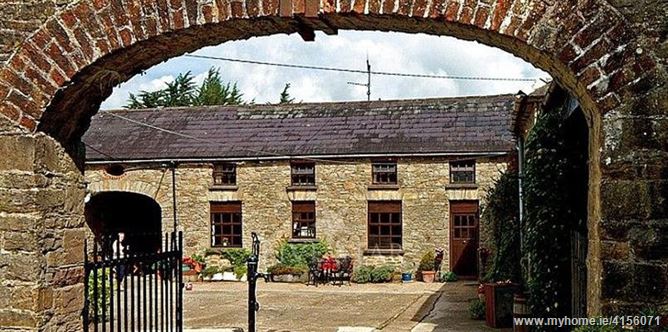 Enclosure in BrureeEnclosure · 669 yd
 San Giovannihouse · 912 yd
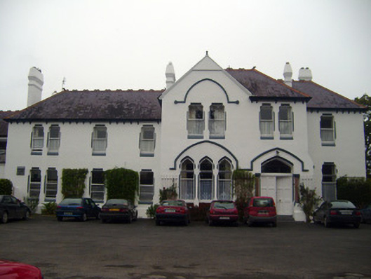 Cuan Mhuirecountry house · 1074 yd
 Bruree Castle Upper (ruins)Castle · 1582 yd
 IndicatedHoly well · 1590 yd
 Eagle Mount MoteCastle, motte · 1.1 mi
 King John's CastleCastle · 3.1 mi
 Lady's WellSpring · 3.8 mi
 ToberSpring · 3.8 mi
 Holy Cross CemeteryGraveyard · 4.6 mi
 Flat cemetery in Knockainy WestFlat cemetery · 8.9 mi
 Ballinvreena LoopVisitor information · 8.9 mi