What is recorded here
No fairy appears in the facts, but people named it a fairy fort because the marsh hides its edges and the field cut the circle in two. The earthen bank still stands fifteen centimetres above the pasture in places, while dense growth fills the shallow dish where someone once kept fire, tools or a child from the wet dark. The fairies may be absent from memory, yet the shape remains small enough to walk around and old enough to resist forgetting.
In level marshy pasture. Former circular enclosure now truncated on W and N sides by field boundaries. Survives as D-shaped area (18.2m N-S; 10.6m E-W) defined NNE->ENE by scarped edge (H 1.5m; Wth 2.1m) and enclosed ENE->SW by earthen bank (int. H 0.55m; ext. H 1.5m), with external fosse (D 0.25m; Wth 2.1m) NNE->SW; elsewhere enclosed by linear field boundary. Interior is level and, except along margins, covered by dense overgrowth.
Compiled by: Denis Power
Date of upload: 26 August 2011
The monument record does not grant public access. Check the route and ask the landowner before entering private land.
- What survives
- Recorded monument
Places near here
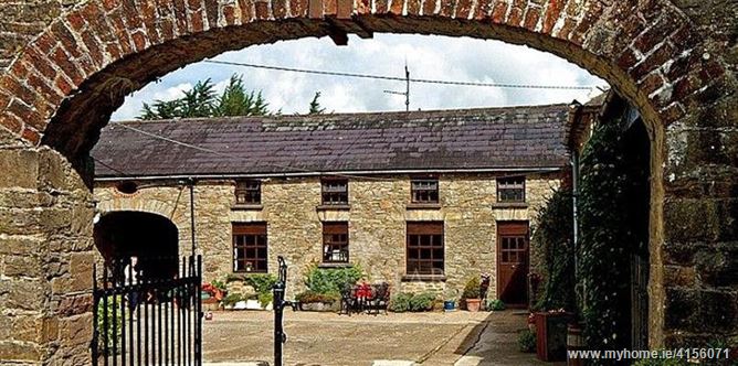 Enclosure in BrureeEnclosure · 919 yd
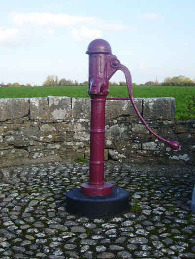 water pumpwater pump · 1370 yd
 Hachured, Crow FieldEnclosure, large enclosure · 1423 yd
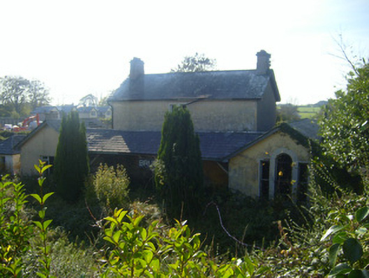 Bruree Railway Stationrailway station, goods shed · 1560 yd
 Site of CastleCastle, unclassified · 1.1 mi
 Bruree Castle Upper (ruins)Castle · 1.1 mi
 King John's CastleCastle · 2.8 mi
 Lady's WellSpring · 3.9 mi
 ToberSpring · 4.0 mi
 Holy Cross CemeteryGraveyard · 5.0 mi
 Flat cemetery in Knockainy WestFlat cemetery · 8.5 mi
 Ballinvreena LoopVisitor information · 8.7 mi