What is recorded here
Fairy forts are human places misnamed, often built before records began and forgotten twice. That is what makes them interesting. The lesson is not to dismiss the person or believe every claim. Test the facts, keep the useful part, and leave the rest behind.
On S-facing slope, overlooking Ballycotton Bay. Shown on 1842 OS 6-inch map as semicircular enclosure (diam. c. 40m), abutted to W and N by field fences. Site visible as semicircular platform cut into hill to N; raised on S side.
The above description is derived from the published 'Archaeological Inventory of County Cork. Volume 2: East and South Cork' (Dublin: Stationery Office, 1994). In certain instances the entries have been revised and updated in the light of recent research.
Date of upload/revision: 14 January 2009
The monument record does not grant public access. Check the route and ask the landowner before entering private land.
- What survives
- Recorded monument
Places near here
 Fulacht fia in RooskaghFulacht fia · 863 yd
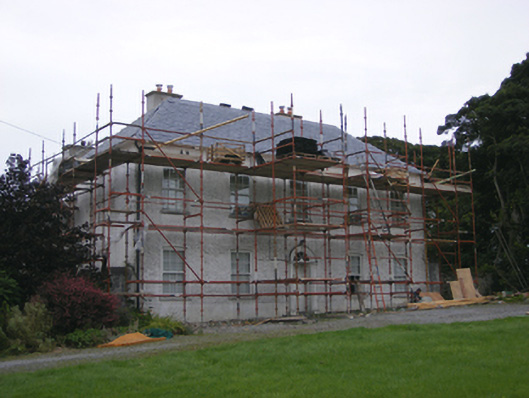 Ballybane Housecountry house · 1540 yd
 Ballybane HoCountry house · 1555 yd
 Garryvoe Castle (in Ruins)Castle, tower house · 1744 yd
 Fulacht fia in Garryvoe UpperFulacht fia · 1.0 mi
 Garryvoe BeachBeach / strand · 1.8 mi
 CastleCastle, tower house · 2.1 mi
 Mitchell's WoodWood · 2.5 mi
 William Heffernan MemorialMemorial · 3.0 mi
 Mary StandfordMemorial · 3.4 mi
 P.N.L.B. Mary StandfordWreck · 3.4 mi
 Pigeon WoodWood · 3.4 mi