What is recorded here
Ballyhehan is a small earthen ring on a low Clare knoll, visible in old surveys but reduced now to a curved bank and a badger set. It may have marked a home, a boundary, or a place people avoided, while the land around it became open pasture. The fort has lost most of its shape, yet it still occupies a point where the ground drops away and the view reaches far. What is missing has not disappeared entirely; it has changed from human form to animal shelter and quiet earth.
On a low knoll from which the ground falls moderately steeply on all sides, with good views in all directions. The surrounding land is improved and extensively cleared pastureland. Hachured on the 1842 and 1915 eds. of the OS 6-inch maps. Listed as ‘Enclosure’ in the SMR (1992) and the RMP (1996). A poorly preserved rath of which only an arc, from NE–SE, of bank survives (L 35m; Wth at base 7.3m; int. H 0.5m; Ext H 1.1m). The site now contains a badger set.
Compiled by: Mary Tunney and Ros Ó Maoldúin
Date of upload: 28 April 2021
The monument record does not grant public access. Check the route and ask the landowner before entering private land.
- What survives
- Recorded monument
Places near here
 Castle Mael (in ruins)Castle, unclassified · 704 yd
 IndicatedEnclosure · 1147 yd
 Turlough CastleArchaeological place · 1263 yd
 Enclosure in KilweelranEnclosure · 1512 yd
 Moneen MountainMountain / peak · 1.4 mi
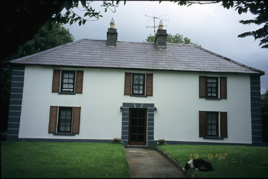 Abbey Househouse · 1.5 mi
 Turlough HillMountain / peak · 1.7 mi
 Battle of Lough Raskabattle · 1.9 mi
 Oughtmama Church (in ruins)Church · 2.1 mi
 Corcomroe Abbey Geopark SiteVisitor information · 2.1 mi
 Corcomroe AbbeyVisitor information · 2.1 mi
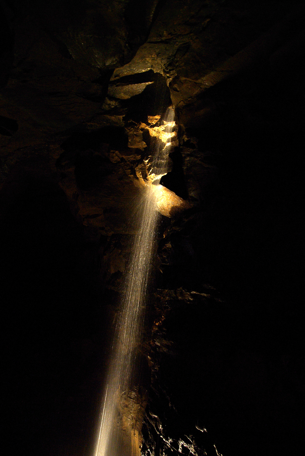 Aillwee CaveCave · 2.8 mi