
What is recorded here
On open karst with some scrub cover. An oval enclosure (c. 25m NE-SW; c. 18m NW-SE) defined by a stone wall noted on Digital Globe (2011-13) and on OSi Aerial Premium 2012-2018 by Ros Ó Maoldúin. Another possible enclosure lies c. 85m to the NE.
Compiled by: Mary Tunney
Date of upload: 12 May 2021
The monument record does not grant public access. Check the route and ask the landowner before entering private land.
- What survives
- Recorded monument
Places near here
 Turlough CastleArchaeological place · 134 yd
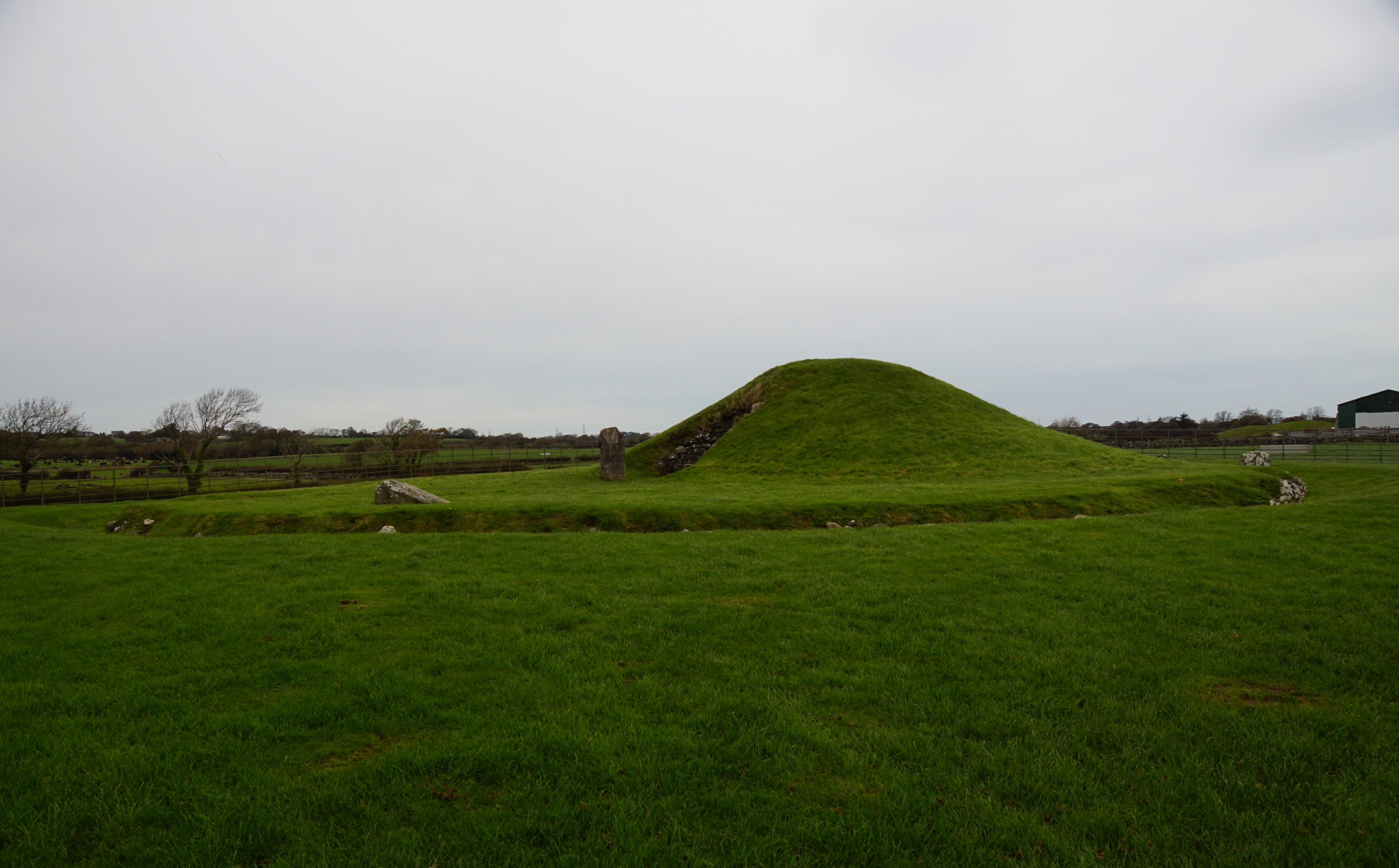 Killeenacurry Childen's Burial GroundArchaeological place · 704 yd
 Castle Mael (in ruins)Castle, unclassified · 974 yd
 Site of Gortaclare FortFairy fort / ringfort · 1257 yd
 Turlough HillMountain / peak · 1.7 mi
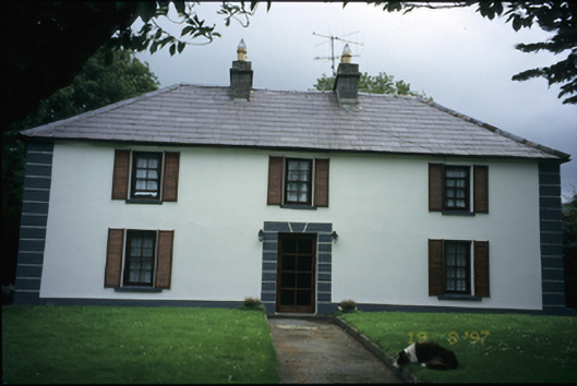 Abbey Househouse · 2.0 mi
 Moneen MountainMountain / peak · 2.1 mi
 Oughtmama Church (in ruins)Church · 2.2 mi
 Aillwee CaveCave · 3.0 mi
 Bird Of Prey CentreHeritage attraction · 3.1 mi
 PoulnabroneMemorial · 3.4 mi
 Gleninshing portal tombHeritage attraction · 3.7 mi
Other information
Photo: Credit not shown in the picture search · Rights wording not checked; contact us if this picture should be removed