
What is recorded here
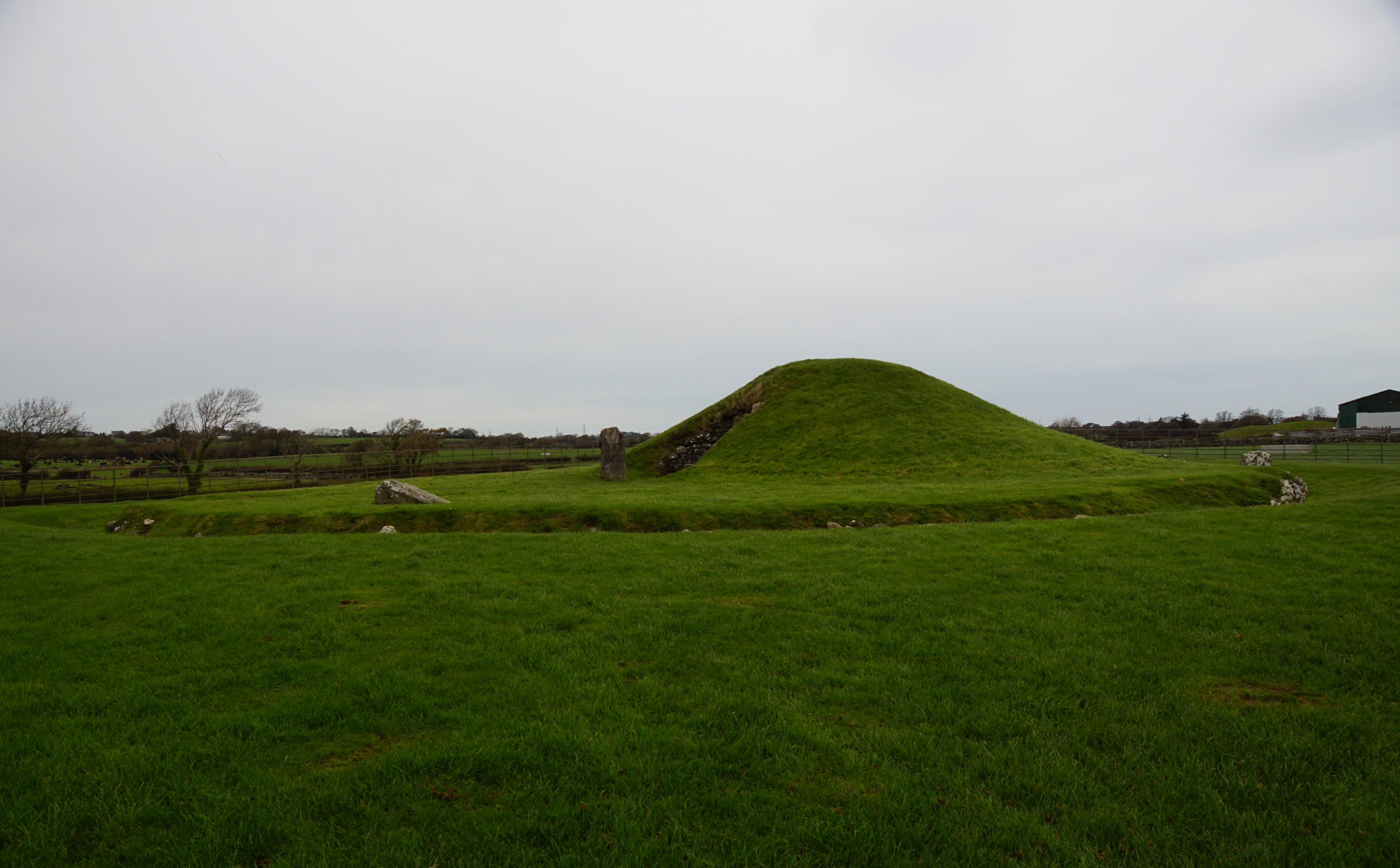
Gortaclare Fort has vanished from the Clare pasture except for the mouth of an underground passage, which still marks the lost enclosure. The fort may have been a small home, a boundary marker or a place people avoided, but its absence makes the hole more striking. A person who dug or fell into that passage would have discovered the fort beneath the field instead of above it.
On a low knoll of improved pastureland. Hachured and named ‘site of Gortaclare Fort’ on the 1842 ed. of the OS 6-inch map but only named on the 1915 ed. map. Listed as ‘Enclosure’ in the SMR (1992) and the RMP (1996). There are no visible remains of this monument at ground level but the entrance to a fine Man-made underground passage (CL006-040002-) marks its location.
Compiled by: Mary Tunney and Ros Ó Maoldúin
Date of upload: 12 May 2021
This remains an important historical record, but the official description says the monument is no longer visible or has been destroyed. The monument record does not grant public access. Check the route and ask the landowner before entering private land.
- What survives
- No visible remains or recorded as destroyed
Places near here
 IndicatedEnclosure · 821 yd
 Killeenacurry Childen's Burial GroundArchaeological place · 991 yd
 Turlough CastleArchaeological place · 1159 yd
 Castle Mael (in ruins)Castle, unclassified · 1.2 mi
 Turlough HillMountain / peak · 2.0 mi
 Templecronan (in ruins)Church · 2.4 mi
 Saint Columba's Catholic Churchchurch/chapel · 3.1 mi
 PoulnabroneMemorial · 3.1 mi
 Aillwee CaveCave · 3.3 mi
 Bird Of Prey CentreHeritage attraction · 3.4 mi
 Gleninshing portal tombHeritage attraction · 3.7 mi
 The Portal TombVisitor information · 3.9 mi
Other information
Photo: Credit not shown in the picture search · Rights wording not checked; contact us if this picture should be removed