
What is recorded here
Kilweelran holds four ancient forts spaced eighty chains apart, yet this particular enclosure vanished entirely from later maps and ground sight. The 1842 survey still caught its shadow while the 1915 version erased it completely, suggesting human hands or time removed what surveyors once believed permanent. Such selective forgetting is common in Clare, where land absorbs memory rather than displaying it.
On level improved pastureland. Hachured on the 1842 ed. of the OS 6-inch map but not marked on the 1915 ed. However, the field boundary on the 1915 ed. does curve along the line of the NW sector. Not visible at ground level. The OS parish namebooks for Kilweelran in 1839 (Placenames database of Ireland) list four ancient forts in the townland ‘standing in a direct line from east towards N. west about 8 chains [c. 160m] apart’. Another enclosure (CL006-003002-) with no visible surface trace is located c. 90m to the N.
Compiled by: Mary Tunney and Ros Ó Maoldúin
Date of upload: 28 April 2021
The monument record does not grant public access. Check the route and ask the landowner before entering private land.
- What survives
- Recorded monument
Places near here
 Killeen Children's Burial GroundArchaeological place · 159 yd
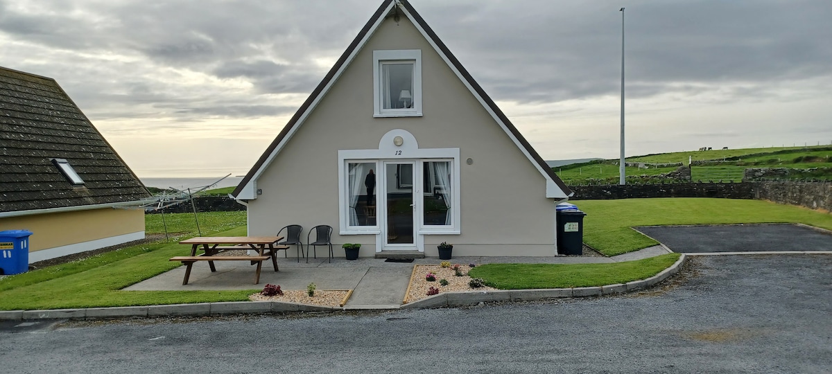 Enclosure in Kilweelran, Dangan (burren By.)Enclosure · 759 yd
 Moneen MountainMountain / peak · 1544 yd
 Castle Mael (in ruins)Castle, unclassified · 1601 yd
 Turlough CastleArchaeological place · 1.5 mi
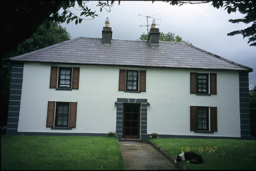 Abbey Househouse · 1.6 mi
 mausoleummausoleum · 1.7 mi
 Battle of Lough Raskabattle · 2.1 mi
 Aillwee CaveCave · 2.1 mi
 Bird Of Prey CentreHeritage attraction · 2.2 mi
 Corcomroe Abbey Geopark SiteVisitor information · 2.4 mi
 Corcomroe AbbeyVisitor information · 2.4 mi
Other information
Photo: Credit not shown in the picture search · Rights wording not checked; contact us if this picture should be removed