What is recorded here
Fairy fort in Ballyhahill, County Limerick: a roughly circular earthen enclosure about twenty metres across, partly cut by a field boundary, now hidden beneath dense trees and bushes. Its bank still stands nearly two metres high at the north west, with a shallow outer ditch beside it. People may have lived, hidden or marked boundary there before the land was divided; the fairies, according to local story, took the rest.
In area of mixed pasture and marshland. Monument, depicted on 1923 OS 6-inch map as roughly circular enclosure (diam. c. 20m) in SE corner of field with field boundary truncating E side, is now entirely covered by dense overgrowth of trees and bushes. Enclosing element accessed at NW revealing earthen bank (ext. H 1.8m) with external fosse (D 0.45m; Wth 2.5m).
Compiled by: Denis Power
Date of upload: 26 August 2011
The monument record does not grant public access. Check the route and ask the landowner before entering private land.
- What survives
- Recorded monument
Places near here
 Scoil Naomh Mhuireschool · 482 yd
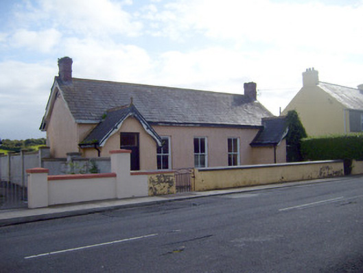 Ballyhahill Carnegie Librarylibrary/archive · 868 yd
 Cliff-edge fort in MohernaghCliff-edge fort · 1428 yd
 TobercloonaghSpring · 1582 yd
 Kyle Burial GroundBurial ground · 1695 yd
 Prospect HillMountain / peak · 1.5 mi
 Castle (Site of)Castle, unclassified · 2.8 mi
 Loghill HoCastle, unclassified · 2.8 mi
 Monterey CypressMonterey Cypress · 3.9 mi
 Mountshannon PointHeadland · 4.0 mi
 Mountshannon WoodWood · 4.0 mi
 Killanna PointHeadland · 4.5 mi