What is recorded here
Situated on a low natural rise of ground with extensive views. A large impressive ringfort consisting of a raised circular area (diam. 35m N-S) enclosed by two earth and stone banks with wide flat-bottomed intervening fosse (Wth 3-4m; int. D 2.5m) and a causewayed entrance (Wth 5.5m) at SSE. The outer bank (Wth 3.5-4.5m ext. H 1.5m) is intersected by a modern road at N while the inner bank (Wth 4m; int. H 0.8m; ext. H 2-3m) is better preserved and gently slopes into the interior. A nineteenth-century burial ground is located outside the outer bank to the E of the ringfort.
The above description is derived from 'The Archaeological Inventory of County Tipperary. Vol. 1 - North Tipperary' compiled by Jean Farrelly and Caimin O'Brien (Dublin: Stationery Office, 2002). In certain instances the entries have been revised and updated in the light of recent research.
Date of upload/revision: 22 September 2008
The monument record does not grant public access. Check the route and ask the landowner before entering private land.
- What survives
- Recorded monument
Places near here
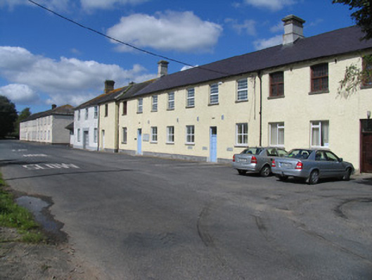 Borrisokane Courthouse and Community Collegeworkhouse · 153 yd
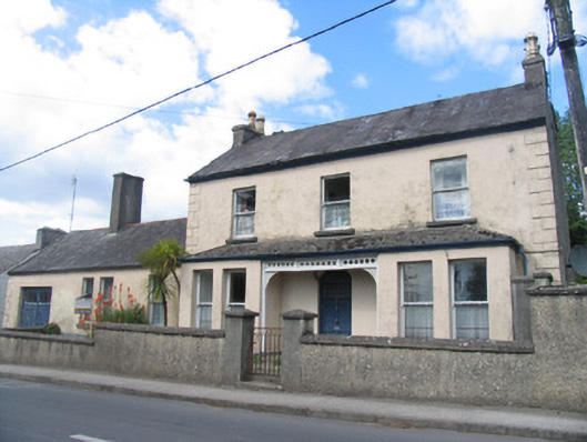 presbytery/parochial/curate's housepresbytery/parochial/curate's house · 493 yd
 RathmoreFairy fort / earthen ringfort · 908 yd
 BorrisokaneHistoric town · 953 yd
 Borris WoodWood · 1.0 mi
 Ballyfinboy Castle (in Ruins)Castle, tower house · 1.4 mi
 Drumnamahane CastleCastle · 1.8 mi
 Knockanacree WoodForest · 4.5 mi
 MacDonagh HouseMemorial · 5.1 mi
 Thomas MacDonagh Heritage CentreMuseum · 5.1 mi
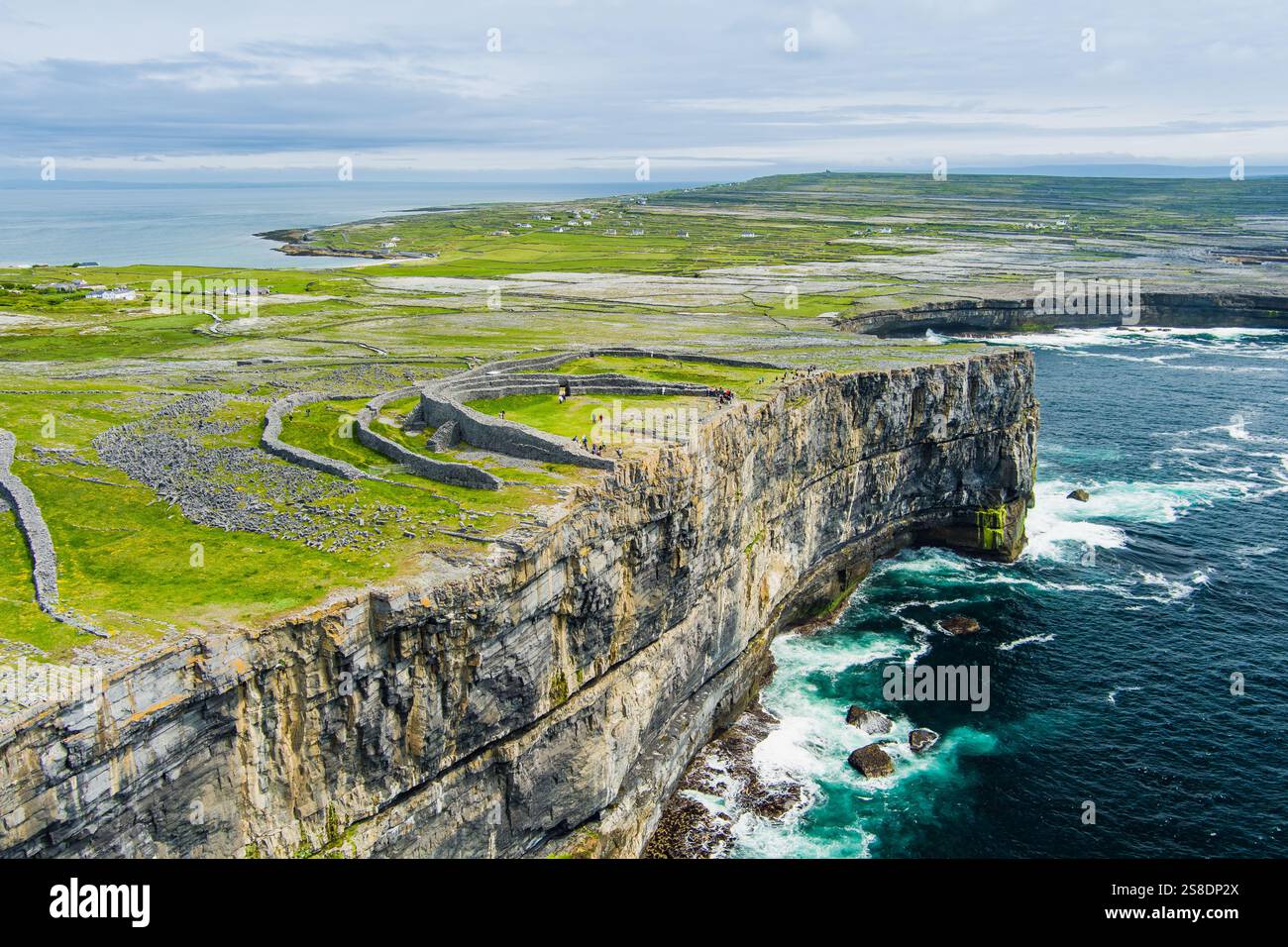 Silver IslandsIslet · 6.8 mi
 Man's IslandIslet · 6.8 mi