What is recorded here
Situated on a fairly level landscape with a small N-S section of a stream c. 30m to the W. The cropmark of a circular enclosure (diam. c. 35m E-W; c. 33m N-S) defined by a fosse is visible on Google Earth (14/07/2018). There is an entrance gap (Wth c. 7m) at N. It was first reported by Simon Dowling and was also noted by Jean Charles Caillere.
See the attached enhanced view from Google Earth
Compiled by: Michael Moore
Date of upload; 3 March 2020
A fairy fort or earthen ringfort in Ballyhaddock, likely dating to the early medieval period, is marked by a circular enclosure visible as cropmarks, suggesting a fosse-defined structure. Local tradition associates such sites with fairy lore, often considered places of otherworldly significance or habitation.
The monument record does not grant public access. Check the route and ask the landowner before entering private land.
- What survives
- Recorded monument
Places near here
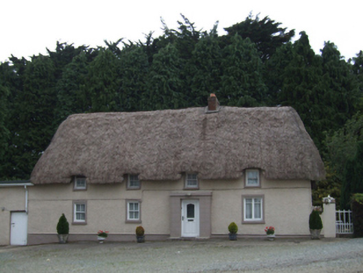 farm housefarm house · 632 yd
 Fulacht fia in MountgeorgeFulacht fia · 1466 yd
 Fulacht fia in Ballycarrigeen LowerFulacht fia · 1467 yd
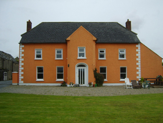 Ballintore Housefarm house · 1628 yd
 The GroveWood · 1.7 mi
 The CoilWood · 1.8 mi
 Ferns Castle (in ruins)Castle, Anglo-Norman masonry castle · 2.1 mi
 Giants BedNamed rock · 2.2 mi
 Father Murphy CentreHeritage attraction · 2.7 mi
 Carrigroe HillMountain / peak · 2.7 mi
 CastleCastle, unclassified · 2.8 mi
 Milshoge RockMountain / peak · 2.8 mi