What is recorded here
Located on a gentle N-facing slope. The cropmark of a circular area (diam. c. 55m) defined by a narrow ditch feature with an inturned entrance at E is visible on aerial photographs (MM (41) 0-2) and (ASIAP (9) 13, 14). It is also visible on digital aerial photographs (WX044-041_1 to _3).
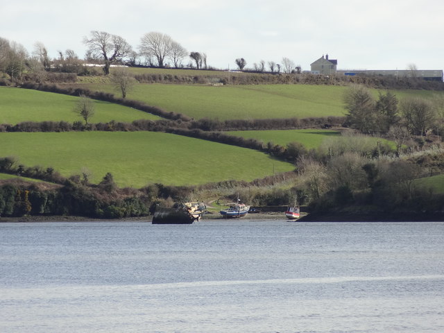
WX044-041----_1.jpg from E
Compiled by: Michael Moore
Date of upload: 17 June, 2013
The monument record does not grant public access. Check the route and ask the landowner before entering private land.
- What survives
- Recorded monument
Places near here
 Ballyhack Castle (in ruins)Castle, tower house · 752 yd
 Millstone quarry in BallyhackMillstone quarry · 911 yd
 Otter with a SalmonMemorial · 925 yd
 Kilhile Housesteward's house · 1055 yd
 Kilhile Castle (in ruins)Castle, tower house · 1077 yd
 Enclosure in NookEnclosure · 1233 yd
 Catherine's BayBay · 1348 yd
 Nook BayBay · 1445 yd
 Tower (in ruins)Bastioned fort · 1541 yd
 Arthurstown BeachBeach / strand · 1690 yd
 Ivory MemorialMemorial · 1.2 mi
 Common WhitebeamCommon Whitebeam · 1.6 mi