What is recorded here
Located on a slight rise in a low-lying landscape. The cropmark of a circular enclosure (diam. c. 55m) defined by a continuous fosse feature is visible on aerial photographs (CUCAP: BDJ 18, BOD 71; MM (42) 24-27), with a ring-ditch (diam. c. 15m) within. A second fosse is visible outside the first SW-NE. It is not visible at ground level in pasture, although a NE-SW field bank has been removed since the 1970s. Achaeological testing (09E0033) c. 70m to the SW produced no archaeological material (Gregory 2012).
The above description is derived from the published 'Archaeological Inventory of County Wexford' (Dublin: Stationery Office, 1996). In certain instances the entries have been revised and updated in the light of recent research.
Compiled by: Michael Moore
Date of upload/revision: 21 October, 2013
This remains an important historical record, but the official description says the monument is no longer visible or has been destroyed. The monument record does not grant public access. Check the route and ask the landowner before entering private land.
- What survives
- No visible remains or recorded as destroyed
Places near here
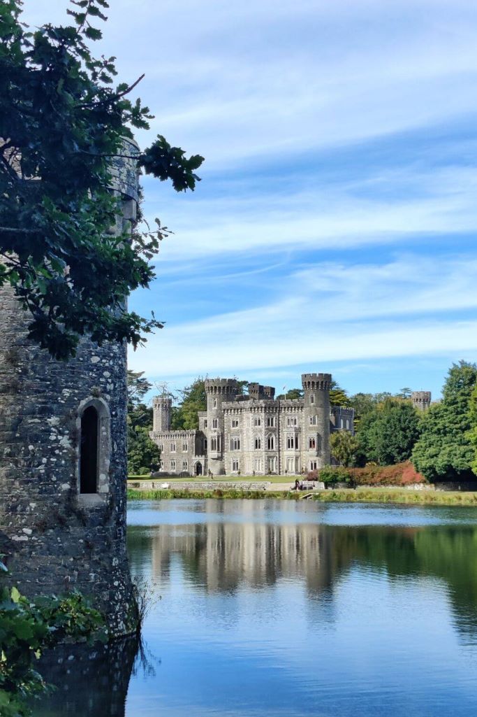 CastleCastle, tower house · 614 yd
 The Bull RockForest · 748 yd
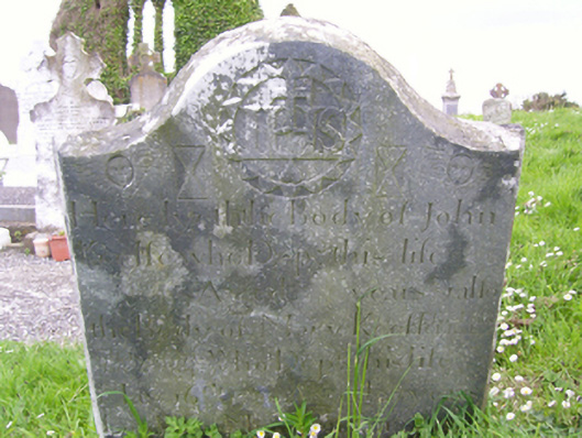 graveyard/cemeterygraveyard/cemetery · 871 yd
 Ecclesiastical enclosure in TomhaggardEcclesiastical enclosure · 877 yd
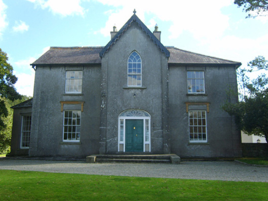 Butlerstown Castlecountry house · 891 yd
 1798 Memorial PlaqueMemorial · 919 yd
 The Heron's MeadowForest · 931 yd
 Enclosure in Grange (forth By., Tomhaggard Ed)Enclosure · 932 yd
 The HamBay · 1.4 mi
 The White Hole BeachBeach / strand · 1.9 mi
 Sigginstown Island (Little)Islet · 2.1 mi
 Sigginstown Island (Great)Island · 2.2 mi