What is recorded here
'There is a fine but broken rath on the east part of Ballyguill in this parish; some say that this fort is on the Townland of Dunbur in Kilpoole; if so it must be the Dunbur, i.e., the Dun on the top of the Hill, which is the situation of it.' (OS Letters, 362). This 'rath' has not been located.
Date of upload: 22 October 2012
A fairy fort or earthen ringfort located in the townlands of Ballyguile Beg, Ballyguile More, Dunbur Head, Dunbur Lower, and Dunbur Upper, likely dating to the early medieval period. Local tradition associates it with the name "Dunbur," meaning "the dun on the top of the hill," and it is linked to both prehistoric settlement and folklore surrounding fairy activity in the area.
The monument record does not grant public access. Check the route and ask the landowner before entering private land.
- What survives
- Recorded monument
Places near here
 Glen Beach Cliff WalkWalking route · 1280 yd
 Enclosure in Ballyguile MoreEnclosure · 1505 yd
 Brides WellHoly well · 1603 yd
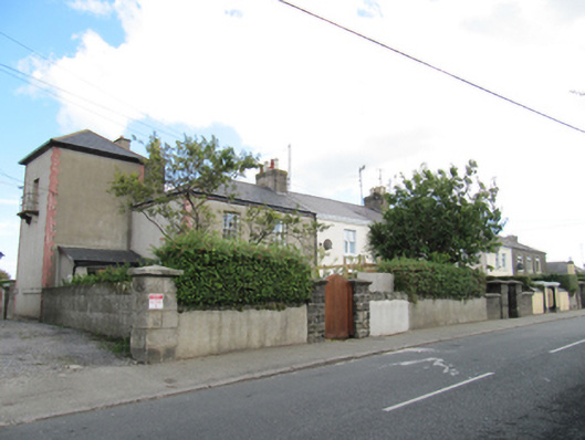 coastguard stationcoastguard station · 1684 yd
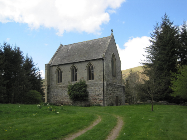 R. C. Chapel (in Ruins)Church · 1725 yd
 Silver StrandBeach / strand · 1746 yd
 Black Castle (in ruin)Castle, Anglo-Norman masonry castle · 1.2 mi
 Kilpoole BeachBeach / strand · 1.4 mi
 Round MountCastle, motte · 1.5 mi
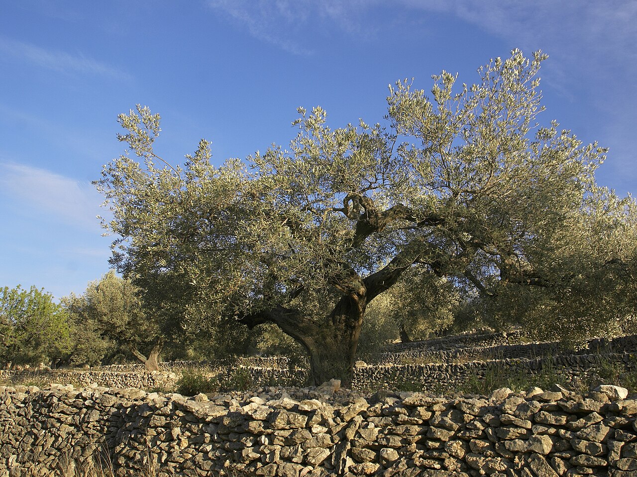 Olive treeOlive tree · 2.0 mi
 Sessile OakSessile Oak · 3.8 mi
 Carrick MountainMountain / peak · 5.9 mi