What is recorded here
Mortons and others have measured the same swelling grass, but measurement does not finish the place. The fort is a visible chamber inside the regional dream, and human life may have happened within it. The chamber is not complete until it is occupied.
In pasture, below crest of hill on SW-facing slope. Circular area (43m NE-SW) enclosed by earthen bank (int. H 0.1m; ext. H 1.2m) N->SW; external fosse (D 0.4m) ESE->SW. Entrance to SW. Interior truncated on NW and SW side by field fence.
The above description is derived from the published 'Archaeological Inventory of County Cork. Volume 2: East and South Cork' (Dublin: Stationery Office, 1994). In certain instances the entries have been revised and updated in the light of recent research.
Date of upload/revision: 14 January 2009
The monument record does not grant public access. Check the route and ask the landowner before entering private land.
- What survives
- Recorded monument
Places near here
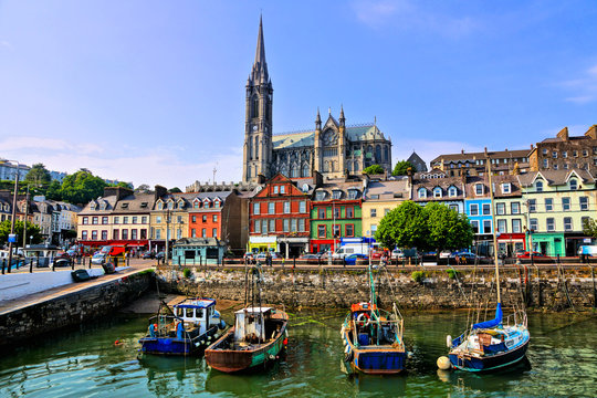 Fulacht fia in Cornaveigh (imokilly By., Ardagh Par.)Fulacht fia · 619 yd
 IndicatedMill, corn · 861 yd
 Castle (in Ruins)Castle, tower house · 886 yd
 milestone/milepostmilestone/milepost · 1258 yd
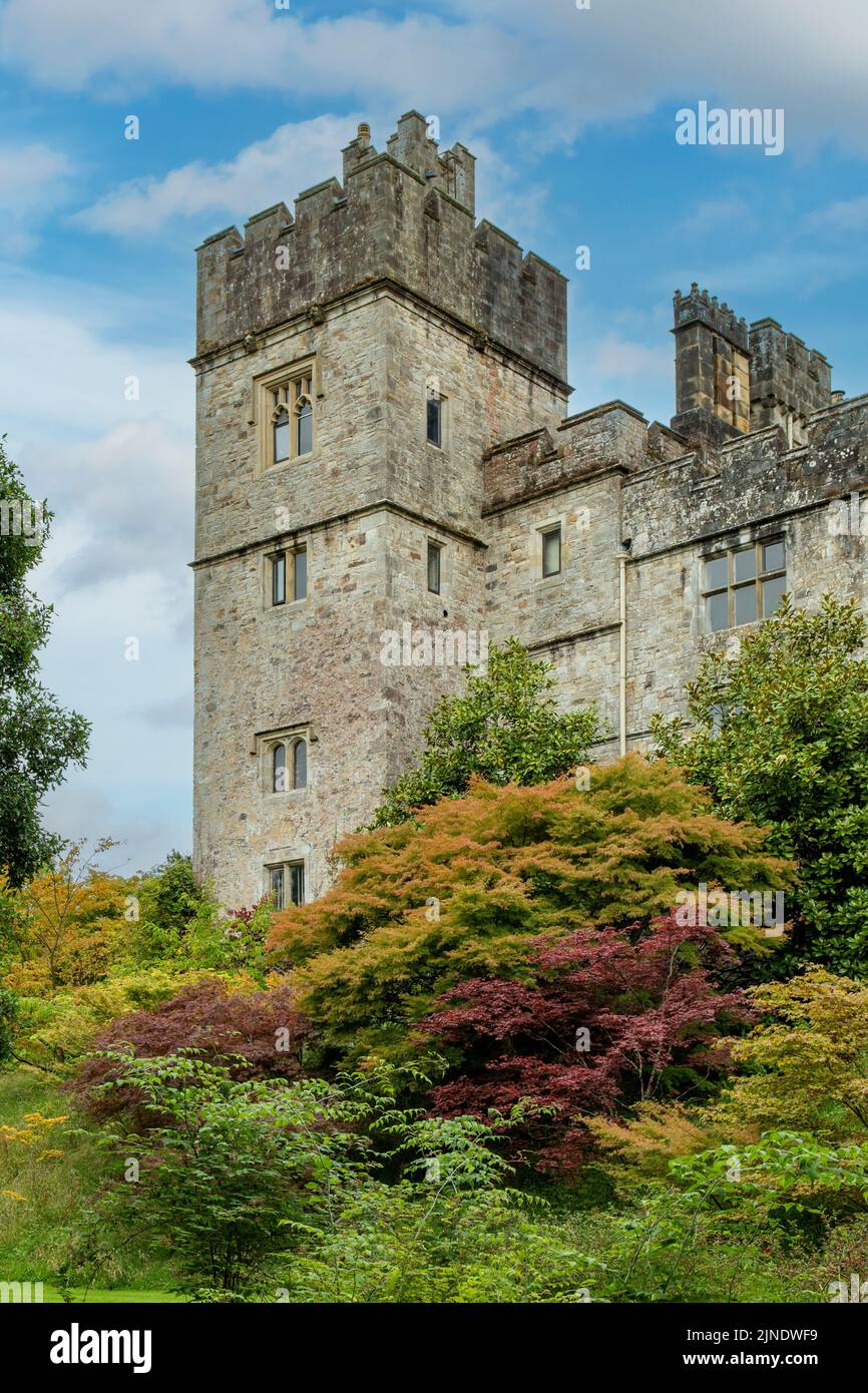 Embanked enclosureFairy fort / earthen ringfort · 1272 yd
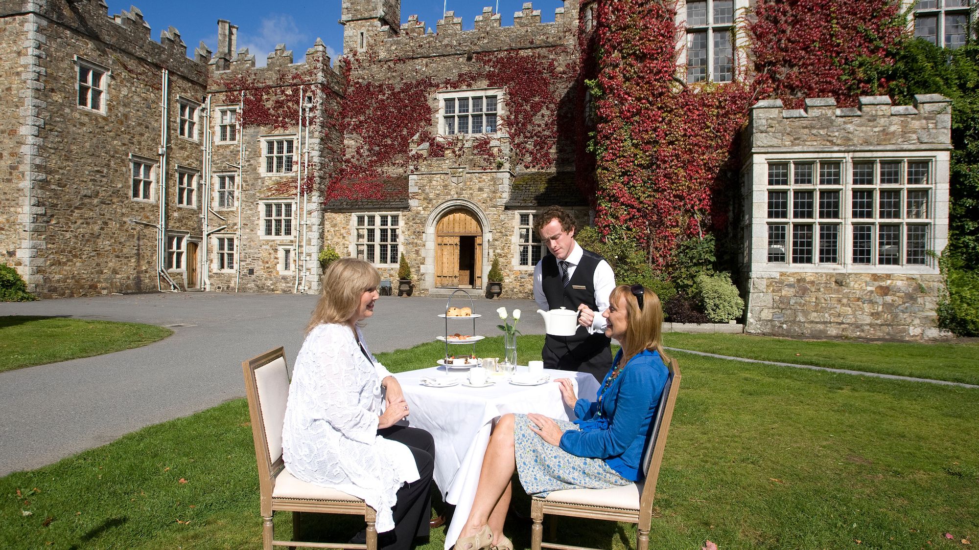 Castle Miles (in ruins)Castle, unclassified · 1572 yd
 European ashEuropean ash · 2.1 mi
 Molana AbbeyHeritage attraction · 2.3 mi
 Ringcrew WoodForest · 2.6 mi
 St Bridget's WellSpring · 3.0 mi
 Youghal Foxhole Loop walkWalking route · 3.3 mi
 Fainin's WellSpring · 3.6 mi