What is recorded here
Fairy fort / earthen ringfort in Ballyglassin stands in poorly drained, low-lying pasture, a raised circular area about 27 metres across with a scarp 0.8 to 1.3 metres high and a faint outer fosse. Its northern dip may have marked the entrance, while the surrounding wet grass suggests people once shaped a difficult place into a home, shelter or boundary. The earth has softened the edges, but the circle still resists forgetting.
In poorly drained, low-lying pasture. A raised circular area (diam. c. 27m) defined by a scarp (H 0.8-1.3m) with very slight traces of a bank of earth and stone. At the external base of the scarp is a poorly defined fosse (Wth 1.8m; D 0.3m). A depression (Wth 1.2m) in the scarp at N may mark the original entrance.
Compiled by: Patrick F. O'Donovan
Date of upload: 23 November 2011
The monument record does not grant public access. Check the route and ask the landowner before entering private land.
- What survives
- Recorded monument
Places near here
 Church in Glebe (ardagh By., Foxhall Ed)Church · 1427 yd
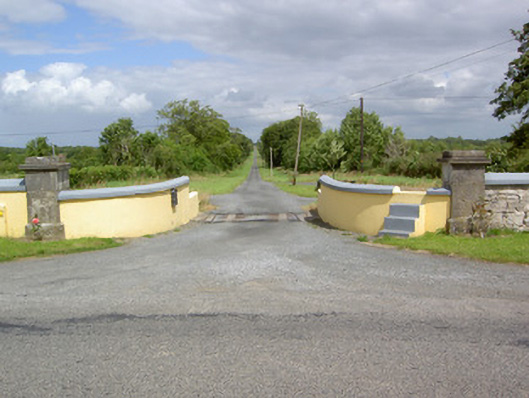 Sleehaun Housegates/railings/walls · 1432 yd
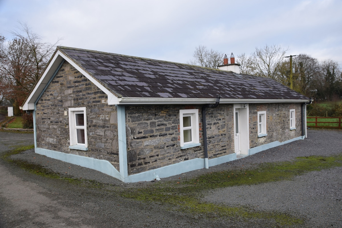 Enclosure in BreanyEnclosure · 1.0 mi
 Hachured fortFairy fort / earthen ringfort · 1.1 mi
 CastleCastle, motte · 1.2 mi
 Druming Ho. (in ruins)Castle, unclassified · 2.0 mi
 Pedunculate OakPedunculate Oak · 2.1 mi
 Common AlderCommon Alder · 2.6 mi
 National Famine WayWalking route · 4.0 mi
 Abbeyshrule AbbeyRuins · 4.1 mi
 Goldsmith Birthplace, PallasVisitor information · 5.0 mi
 Newcastle WoodsForest · 5.4 mi