What is recorded here
Half a metre of scarp still holds the memory of a doorway nobody can find. The oval rises forty-five metres across low pasture, its shallow ditch erased on one side by a modern field boundary but faint elsewhere, as if the earth forgot the entrance before it released the rest. People may have lived inside that hidden gap, children included, while adults pointed at the fort and called it fairy-made because no human claim remained visible.
On a gentle E-facing slope in low-lying pasture. A raised oval area (c. 45m NW-SE; c. 33m NE-SW) defined by a scarp (max. H 0.5m) with a shallow external fosse (Wth 2m; D 0.1-0.2m). From N-NE-E the fosse has been infilled and replaced by a modern NW-SE field boundary. From SE-S-NW it has also been infilled but its outline is still identifiable. The original entrance is not recognisable.
Compiled by: Patrick F. O'Donovan
Date of upload: 26 August 2011
The monument record does not grant public access. Check the route and ask the landowner before entering private land.
- What survives
- Recorded monument
Places near here
 Church in Glebe (ardagh By., Foxhall Ed)Church · 903 yd
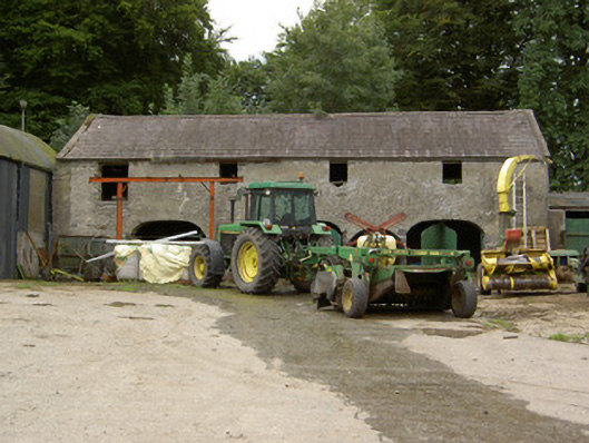 Tully Houseoutbuilding · 1118 yd
 Hachured fortFairy fort / earthen ringfort · 1450 yd
 Chapel (Site of)Chapel · 1.1 mi
 CastleCastle, motte · 1.2 mi
 Pedunculate OakPedunculate Oak · 1.8 mi
 Common AlderCommon Alder · 2.3 mi
 Druming Ho. (in ruins)Castle, unclassified · 2.3 mi
 Abbeyshrule AbbeyRuins · 3.7 mi
 National Famine WayWalking route · 4.3 mi
 Goldsmith Birthplace, PallasVisitor information · 4.8 mi
 Newcastle WoodsForest · 5.1 mi