What is recorded here
Situated on a gentle SW-facing slope of a low rise, in gently undulating and hilly pasture, with good views to W and NW. Enclosure (WM018-087----) and ringfort (WM018-086----) lie c. 165m to NW and c. 195m to SW, respectively. Depicted on the 1837 ed. OS 6-inch map as a circular-shaped earthwork. Depicted on the revised 1913 ed. OS 25-inch map as a penannular-shaped earthwork, which is truncated by a field boundary to SE.
Monument described in 1970 as a small circular-shaped area (diam. 27m) enclosed by the remains of a bank and external fosse. The earth and stone bank (Wth at top 0.8m; overall Wth 4.4m; int. H 1m; ext. H 1.4m) is substantial, except where it is slight and denuded from N-E. It has the remains of an internal stone facing at SE, S and from SW-W. The original entrance is not recognisable. A slight shallow fosse is visible from SSW-SW-W. The interior rises slightly from the perimeter towards the centre. A modern earth and stone field fence skirts the exterior of the bank from ESE-SE-S, where it has the remains of a relatively modern stone facing. Monument is visible as a roughly-circular-shaped, partially tree-planted earthwork on Digital Globe aerial photography.
Compiled by: Alison McQueen, Vera Rahilly and Caimin O’Brien
Date of upload: 05 February 2019
The monument record does not grant public access. Check the route and ask the landowner before entering private land.
- What survives
- Recorded monument
Places near here
 Enclosure in Ballyglass (rathconrath By.)Enclosure · 203 yd
 Ancient Ring FortWood · 259 yd
 OutlinedHut site · 341 yd
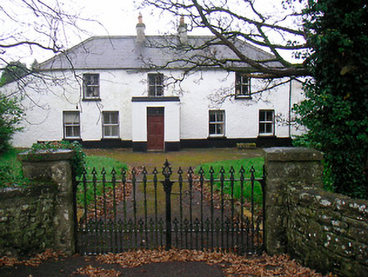 Ballyglass Househouse · 729 yd
 RathconrathCastle, motte · 904 yd
 P. Gunninghouse · 931 yd
 Milltown Castle in ruinsCastle, unclassified · 1001 yd
 Hill of UisneachMountain / peak · 3.4 mi
 Baronstown ForestWood · 4.7 mi
 Abbeyshrule AbbeyRuins · 6.1 mi
 Guest ServicesVisitor information · 7.4 mi
 Goldsmith Birthplace, PallasVisitor information · 7.6 mi