
What is recorded here
Situated on a low rise, in pasture. In the centre of ringfort (WM018-047----) are the remains of a rectangular house site (dims. 6.2m ENE-WSW; 5m NNE-SSW) enclosed by an earth and stone bank (Wth 1.7m). A slight gap (Wth 1.2m) at ENE may represent an entrance. Two upright stones are located to SSE of the S corner.
See attached sketch plan of monument surveyed and drawn by the ASI.
Compiled by: Alison McQueen, Vera Rahilly and Caimin O’Brien
Date of upload: 04 February 2019
The monument record does not grant public access. Check the route and ask the landowner before entering private land.
- What survives
- Recorded monument
Places near here
 Partially hachuredFairy fort / earthen ringfort · 171 yd
 Enclosure in Ballyglass (rathconrath By.)Enclosure · 266 yd
 Ancient Ring FortWood · 450 yd
 Milltown Castle in ruinsCastle, unclassified · 733 yd
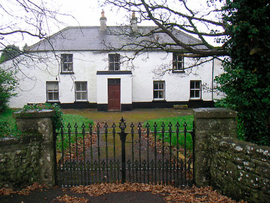 Ballyglass Househouse · 1051 yd
 Saint Mary's Catholic Churchchurch/chapel · 1142 yd
 RathconrathCastle, motte · 1192 yd
 Hill of UisneachMountain / peak · 3.5 mi
 Baronstown ForestWood · 4.5 mi
 Craft WorkshopHeritage attraction · 7.3 mi
 Guest ServicesVisitor information · 7.3 mi
 Goldsmith Birthplace, PallasVisitor information · 7.4 mi
Other information
Photo: Credit not shown in the picture search · Rights wording not checked; contact us if this picture should be removed