What is recorded here
Marianne and Ciaran walked the rough grass at Ballygauge Beg, measuring forty-two metres of forgotten life. They bypassed the usual warning about fairies and listed the solid facts: a circular earthwork with a bank, ditch, and possible entrance. Under the cold sky, the chamber became a small visible record of the people who shaped it long before modern maps.
A circular area (diam. c. 42.5m) defined by a bank (Wth c. 2.3m; int. H c. 0.7m, ext. H c. 1.4m) and external fosse (Wth c. 3.8m) at E and S. Possible original entrance at NE.
The above description is derived from the published 'Archaeological Inventory of County Laois' (Dublin Stationery Office, 1995) compiled by P. David Sweetman, Olive Alcock and Bernie Moran. In certain instances the entries have been revised and updated in the light of recent research.
Date of upload: 17 December 2007
The monument record does not grant public access. Check the route and ask the landowner before entering private land.
- What survives
- Recorded monument
Places near here
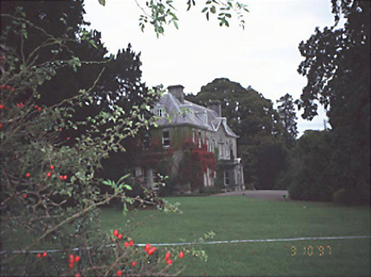 Moyne Househouse · 1697 yd
 CastleCastle, unclassified · 1.2 mi
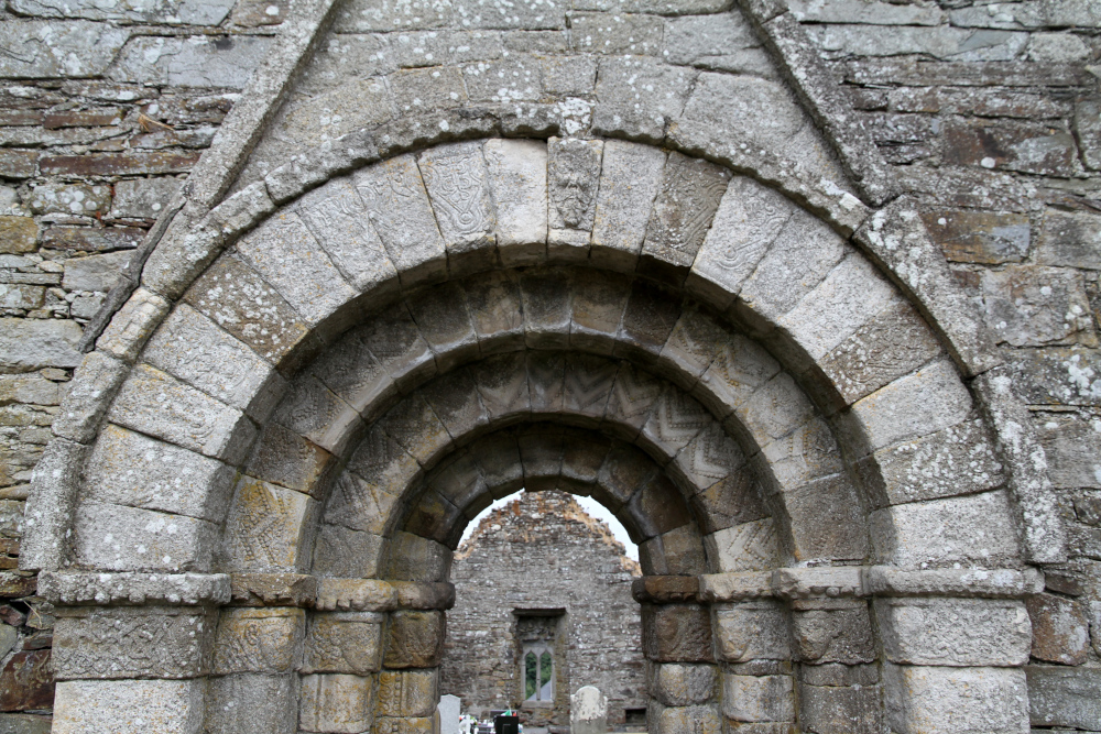 Killermogh Church (in Ruins)Church · 1.3 mi
 Enclosure in Castledurrow DemesneEnclosure · 1.4 mi
 Enclosure in Ballycolla HeathEnclosure · 1.4 mi
 Durrow CastleCastle · 1.6 mi
 European PearEuropean Pear · 2.1 mi
 Big WoodWood · 2.6 mi
 Anker's IslandIsland · 4.5 mi
 Graveyard in SraleaghGraveyard · 6.1 mi
 Cnoc SeanrathaMemorial · 7.8 mi
 Killermogh Churchchurch/chapel · 1.4 mi