What is recorded here
A circular earthen bank, 26 metres across and stone-faced on the inside, still holds its shape on a southwest-facing slope in Ballyfoleen South. The entrance faces northeast, with a small terrace outside, while a gap at the west suggests a later field wall or forgotten path. Elders grow thick within the ring now, softening the line of the bank and making the place feel less like a ruin and more like a room the land has taken back.
In pasture, on SW-facing slope. Circular area (26m N-S; 24m E-W) enclosed by earthen bank (int. H 0.75m; ext. H 0.95m), best preserved NW->SSW. Bank is stone faced internally ENE->SSE. Gap in bank at WSW (Wth 3.5m). Entrance to NNE (Wth 6m) outside of which is terrace (Wth 4m) with curved edge defined by scarp (H 1.4m). Running concentric with enclosing bank, and c. 1m outside it, is much-collapsed field wall. Interior level and overgrown with elders.
Compiled by: Denis Power
Date of upload: 26 August 2011
The monument record does not grant public access. Check the route and ask the landowner before entering private land.
- What survives
- Recorded monument
Places near here
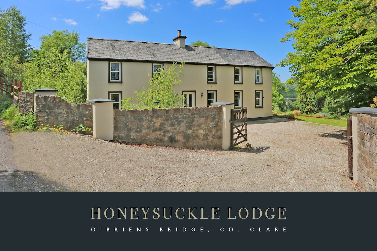 Lismoylan - HachuredFairy fort / earthen ringfort · 299 yd
 IndicatedFairy fort / earthen ringfort · 998 yd
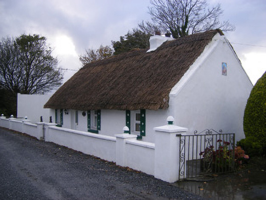 Leprechaun Cottagehouse · 1010 yd
 KilnKiln, lime · 1172 yd
 Kilfinny CastleCastle · 1394 yd
 Kilmacow Ho.Bawn · 1732 yd
 Kinnoor WellSpring · 1.2 mi
 KnockfeerinaMountain / peak · 1.8 mi
 Famine stoneMemorial · 1.9 mi
 Flat cemetery in Kiltenan SouthFlat cemetery · 2.0 mi
 Dysert AenghusaHeritage attraction · 3.0 mi
 Biodiversity in the Maigue CatchmentVisitor information · 4.0 mi