What is recorded here
No. That is not a good instruction because it never tells the agent what they should do or how to judge the result.
On the summit of a low hill. Poorly preserved subcircular rath (c. 30m NW-SE; c. 25m NE-SW)defined by a bank, which has been disturbed and modified from N to ESE by the construction of a later field wall. A gap (Wth 5m) is visible at SSE.
Compiled by: Galway Archaeological Survey, UCG
Date of upload: 14 October 2016
The monument record does not grant public access. Check the route and ask the landowner before entering private land.
- What survives
- Recorded monument
Places near here
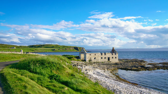 Ballyfintan FortFairy fort / earthen ringfort · 927 yd
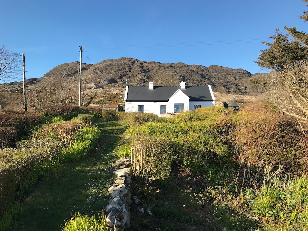 ‘Dogs Fort’Fairy fort / earthen ringfort · 1604 yd
 Brooklawn Ho.Country house · 1646 yd
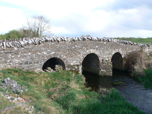 Castletown Bridgebridge · 1.0 mi
 CastleCastle, unclassified · 1.2 mi
 Streamstown Castle (in ruins)Castle, unclassified · 2.0 mi
 Dartfield Horse MuseumHeritage attraction · 3.4 mi
 Quarryhill WoodWood · 4.4 mi
 Bog WoodForest · 4.9 mi
 Battle of AughrimMajor battlefield · 8.0 mi
 The bloody HollowHeritage attraction · 8.1 mi
 Battle of Aughrim Interpretative CentreMuseum · 8.4 mi