What is recorded here
Situated on a NW-facing slope. The cropmark of a circular area (diam. c. 36m) defined by a single feature is visible on aerial photographs (ASIAP, WA 36, 20, 24-25; GB89.AN.33).
The above description is derived from the published 'Archaeological Inventory of County Wexford' (Dublin: Stationery Office, 1996). In certain instances the entries have been revised and updated in the light of recent research.
Compiled by: Michael Moore
Date of upload/revision: 24 January 2013
The monument record does not grant public access. Check the route and ask the landowner before entering private land.
- What survives
- Recorded monument
Places near here
 CastleCastle, tower house · 465 yd
 Castle (in ruins)Castle, tower house · 933 yd
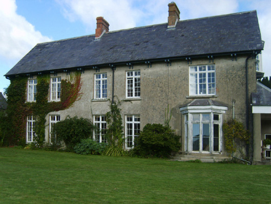 Alderton Housefarm house · 970 yd
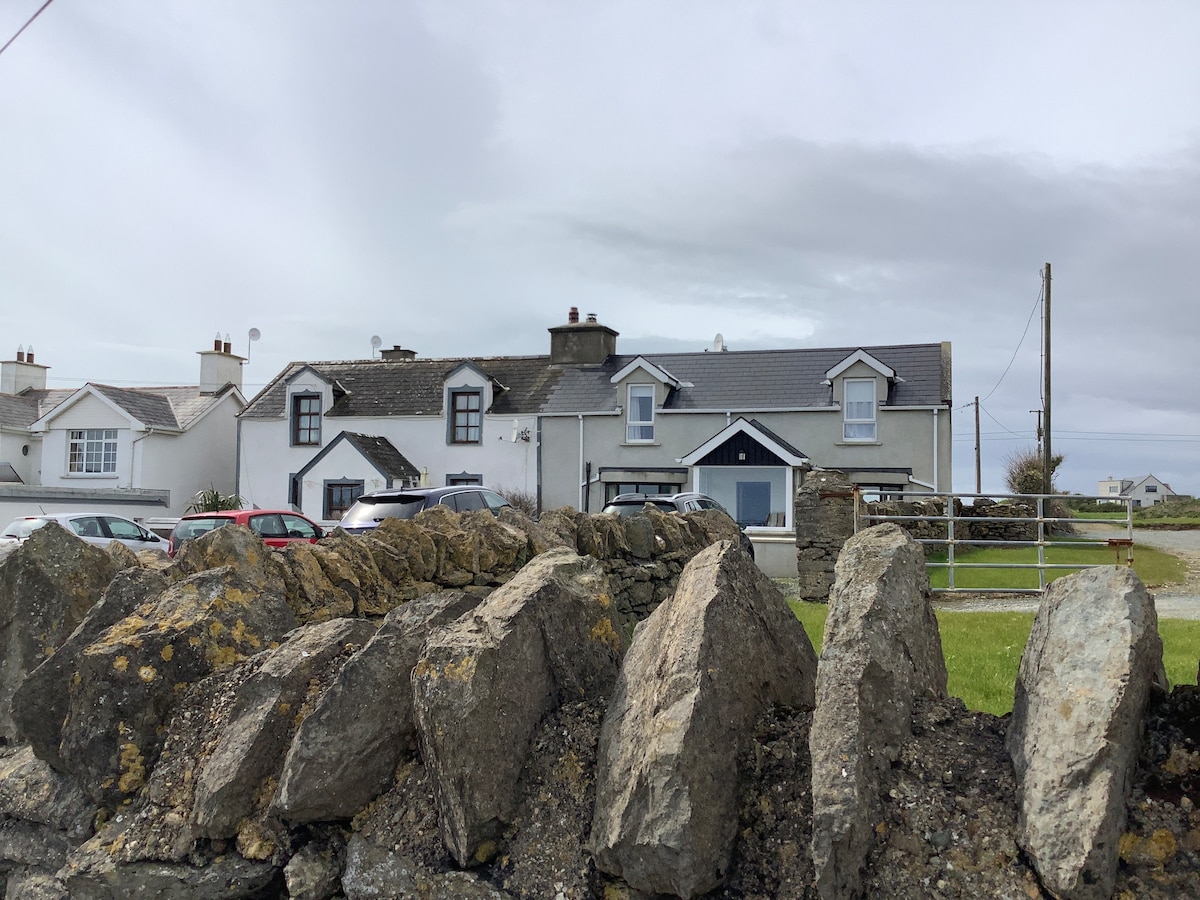 Man-made underground passage in FisherstownMan-made underground passage · 1139 yd
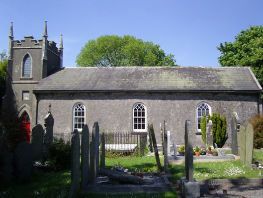 Whitechurch Churchchurch/chapel · 1174 yd
 IndicatedFairy fort / earthen ringfort · 1407 yd
 Silver WattleSilver Wattle · 1.1 mi
 Bamboo CollectionVisitor information · 1.2 mi
 Arboretum MapVisitor information · 1.3 mi
 The John F. Kennedy ArboretumForest · 1.4 mi
 John F. Kennedy Arboretum MuseumMuseum · 1.4 mi
 Goat IslandIsland · 1.7 mi