What is recorded here
Fairy fort / earthen ringfort in Ballyfaris is a fairy fort or earthen ringfort in Ballyfaris, County Sligo, Ireland. It occupies level pasture on the north side of a low ridge, where an earthen bank encloses a raised oval area. The bank merges with the natural slope at the north and shows levelling at the east, while two adjoining hut sites remain within the eastern interior.
In pasture, situated on level ground at the break of slope on the N side of a low ridge. Raised oval area (24.8m NNW-SSE; 20.8m ENE-WSW) enclosed by an earthen bank of (Wth 3.1m; int. H 0.5m; ext. H 1.2m, at W) whose external face may have been faced with stone. At N the bank merges with the natural slope of the ridge. It has been levelled at E. Within the internal area at E is a hut site (SL012-077002-) with a second hut site (SL012-077003-) adjoining its S side.
Compiled by: Patrick F. O'Donovan
Date of upload: 19 January 2011
The monument record does not grant public access. Check the route and ask the landowner before entering private land.
- What survives
- Recorded monument
Places near here
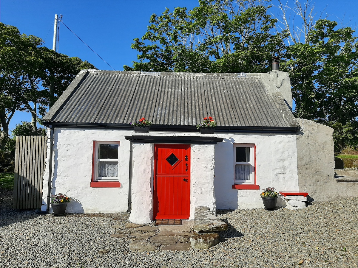 Hut site in BallyfarisHut site · 3 yd
 Enclosure in BallyfarisEnclosure · 133 yd
 Fortlaurel Househouse · 990 yd
 Templeboy Church (in Ruins)Church · 1.1 mi
 Aughris BeachBeach / strand · 1.4 mi
 Dunmoran StrandBeach / strand · 1.8 mi
 Aughris HeadHeadland · 1.8 mi
 CastleCastle, unclassified · 2.1 mi
 Knockalongy North-East TopMountain / peak · 3.6 mi
 DonaghHeadland · 3.7 mi
 KnockalongyMountain / peak · 3.9 mi
 Bawn in CarrowbrickeenBawn · 4.2 mi