What is recorded here
Situated on a slight E-facing slope. The cropmark of a bivallate circular enclosure (int. diam. c. 30m; ext. diam. c. 45m) is visible on aerial photographs (OPWAP, 26981, 15-18). A wide drain or stream bed (Wth c. 5m) approaches from the S, enters the inner fosse feature which it follows around to the NW, and exits in a NW direction. Entrances cannot be identified.
The abpve description is derived from the published 'Archaeological Inventory of County Wexford' (Dublin: Stationery Office, 1996). In certain instances the entries have been revised and updated in the light of recent research.
Compiled by: Michael Moore
Date of upload/revision: 21 March 2014
The monument record does not grant public access. Check the route and ask the landowner before entering private land.
- What survives
- Recorded monument
Places near here
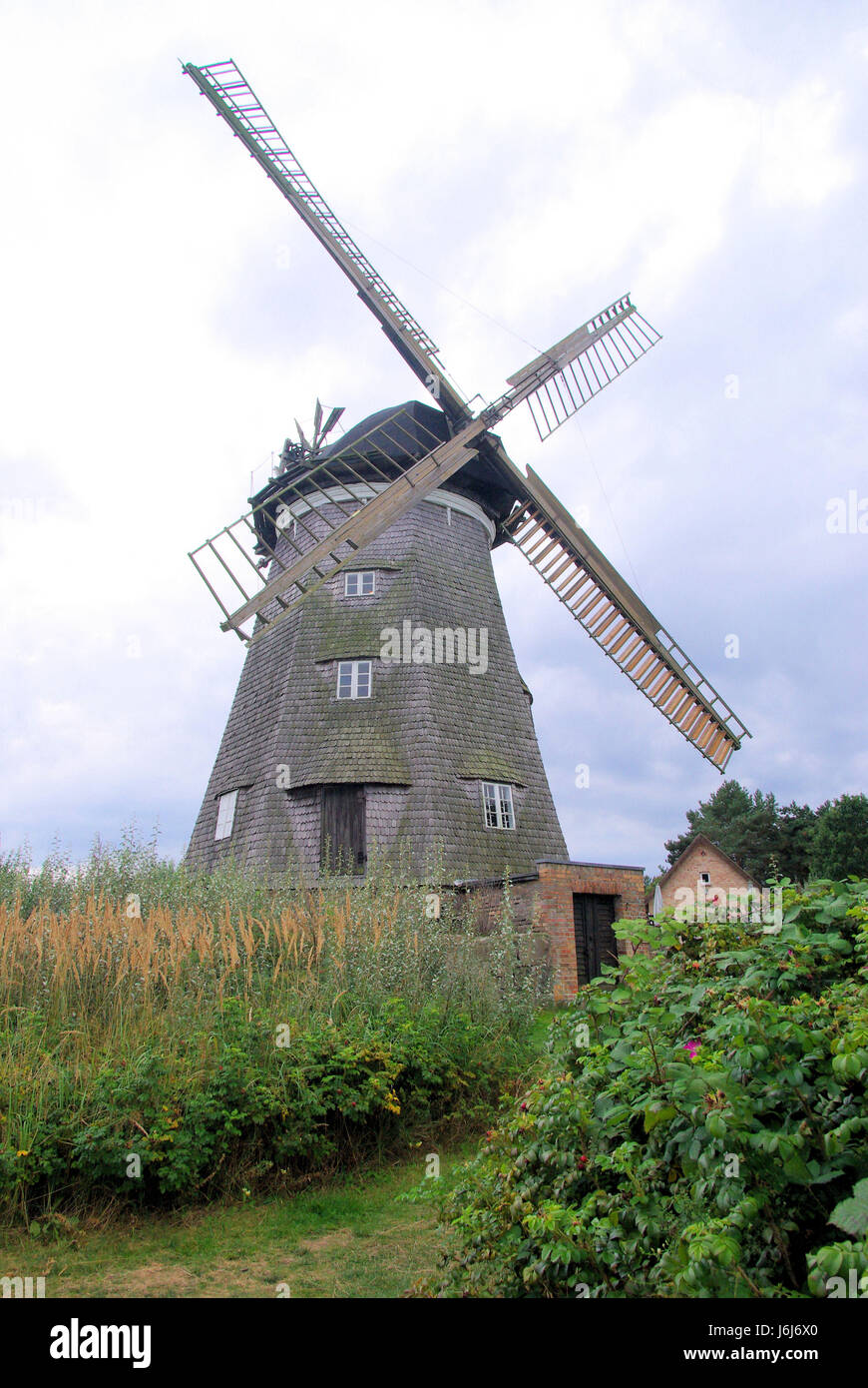 Wind MillWindmill · 131 yd
 Site of CastleCastle, unclassified · 291 yd
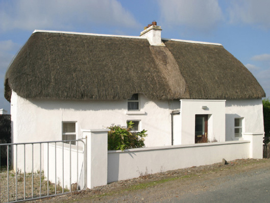 Sutton Cottagefarm house · 291 yd
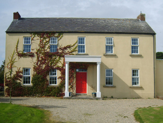 Castlepalliser Housefarm house · 371 yd
 Ladys WellHoly well · 1041 yd
 TowerBawn · 1385 yd
 InishIsland · 1437 yd
 Lady's IslandVisitor information · 1489 yd
 ScargeenIsland · 1530 yd
 Carne BeachBeach / strand · 1607 yd
 Lifeboat MemorialMemorial · 1.0 mi
 Churchtown Beach / The Sandy GripeBeach / strand · 1.1 mi