What is recorded here
Situated on a SE-facing slope, near the headwaters of a WNW-ESE stream, which is c. 180m to the SW. This is a very eroded subcircular grass-covered area (dims. 40m E-W; 35m N-S) defined by severely denuded earthen bank (Wth 4m-m; H 0.2-6m). The entrance (Wth c. 7m) is at NW, but there is no visible fosse.
The above description is derived from the published 'Archaeological Inventory of County Wexford' (Dublin: Stationery Office, 1996). In certain instances the entries have been revised and updated in the light of recent research.
Compiled by: Michael Moore
Date of upload/revision: 14 February 2012
The monument record does not grant public access. Check the route and ask the landowner before entering private land.
- What survives
- Recorded monument
Places near here
 Newtown WoodWood · 653 yd
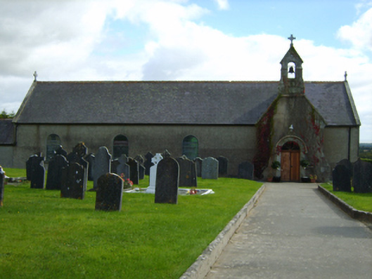 Catholic Church of Our Lady of the Nativitychurch/chapel · 958 yd
 Fulacht FianFulacht fia · 1487 yd
 Shirsheen WoodForest · 1.0 mi
 White Heaps 1798Memorial · 1.1 mi
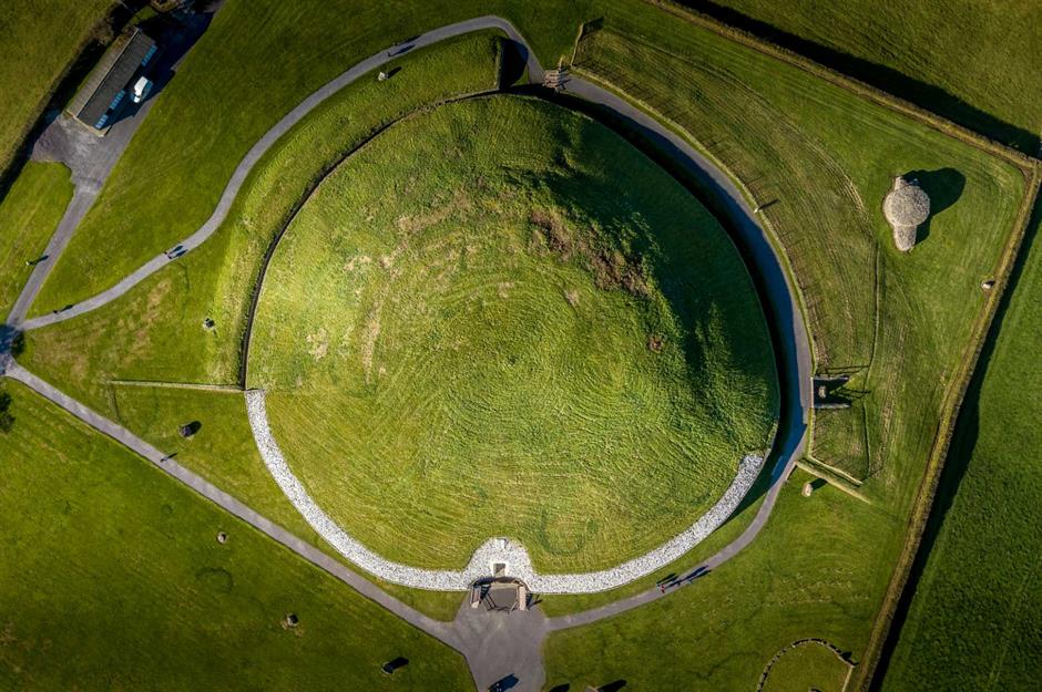 Craangall Site ofRitual site, holy tree/bush · 1.1 mi
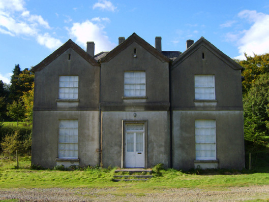 rectory/glebe/vicarage/curate's houserectory/glebe/vicarage/curate's house · 1.4 mi
 CastleCastle, motte · 2.4 mi
 Croghan KinsellaMountain / peak · 2.7 mi
 Monalee HillMountain / peak · 2.7 mi
 Woodenbridge World War One MemorialMemorial · 4.2 mi
 Battle of Arklowbattle · 4.6 mi