What is recorded here
Fairy fort in Ballyelan, County Limerick: a 28-metre earthen ring on a low rise, its scarped edge still standing 1.3 metres high from northwest to east-northeast. Cattle have worn the southwest verge flat, thorns cling to the shallower eastern bank, and a farm passage passes within ten metres. People may have lived inside, excluded, or simply marked the boundary between fields and mystery.
In pasture, on low rise in gently undulating terrain. Circular area (diam. 28m) defined by scarped edge (H 1.3m; Wth 2.2m), best preserved NW->ENE. Scarp becomes very shallow at ENE; thorn bushes grow along scarp face in places. Level interior is under pasture which has been denuded by cattle along SW verge. Farm passage skirts enclosure c. 10m to WSW.
Compiled by: Denis Power
Date of upload: 26 August 2011
The monument record does not grant public access. Check the route and ask the landowner before entering private land.
- What survives
- Recorded monument
Places near here
 St Patricks WellHoly well · 685 yd
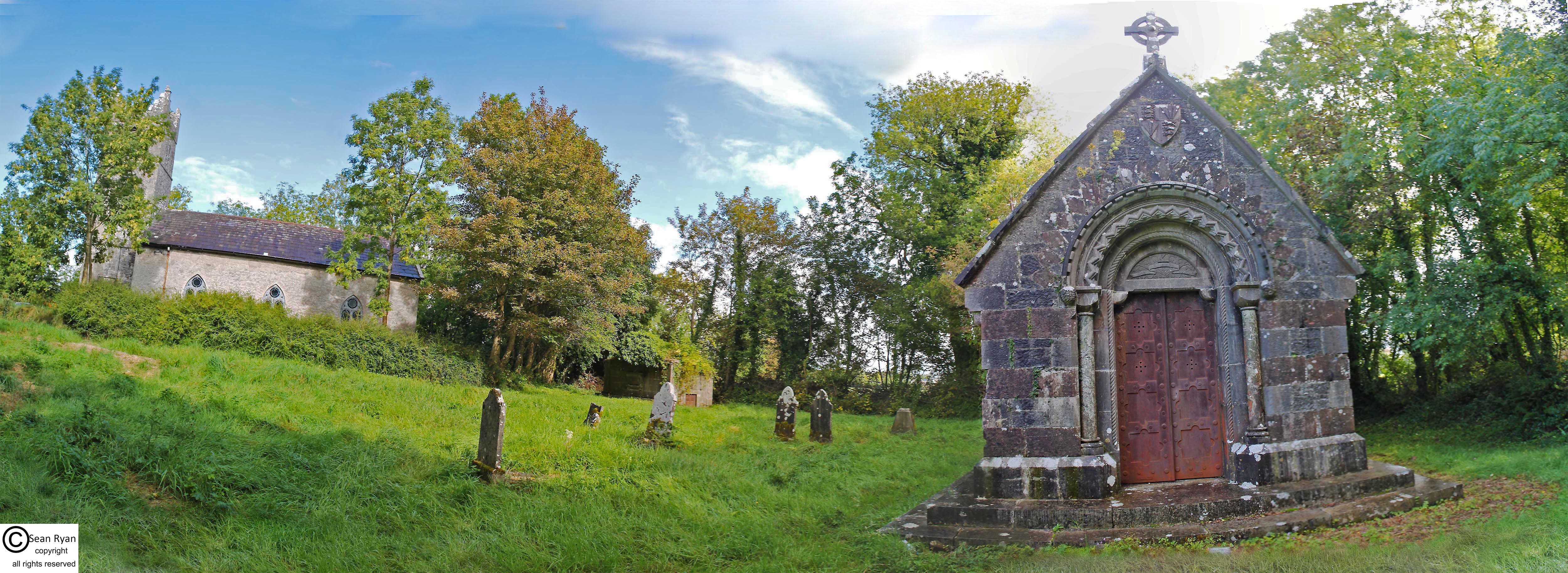 Burial Gd. for ChildrenChildren's burial ground · 1385 yd
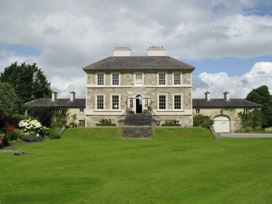 Ballyneale Housecountry house · 1473 yd
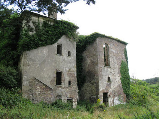 Ballynoe Housecountry house, stables · 1.1 mi
 Castle (in ruins)Castle, tower house · 1.2 mi
 KnockfeerinaMountain / peak · 1.5 mi
 Famine stoneMemorial · 1.5 mi
 IndicatedCastle, motte · 2.4 mi
 Our Lady's WellSpring · 2.5 mi
 Saint Derivla's WellSpring · 3.3 mi
 Flat cemetery in Kiltenan SouthFlat cemetery · 5.0 mi
 Dysert AenghusaHeritage attraction · 5.6 mi