What is recorded here
Fairy fort in Ballyelan is a broad earthen ring on a north-facing slope, with mature trees growing along its outside bank and a wide east-south-east gap marking its entrance. It sits beside marshy ground, partly hidden by nettles, loose stones and branches, more like a forgotten field edge than a formal ruin. People may have lived, herded or gathered there before the bank became a boundary for grass and shadow.
In pasture, on N-facing slope, immediately below brow of hillock; marshy area adjoins to SW and E. Sub-circular area (20m N-S; 27m E-W) enclosed by earthen bank (int. H 0.4m; ext. H 3.05m) on which are growing mature deciduous trees. External bank height is lowest along S side where it meets rising ground. Entrance (Wth 5.9m) at ESE. Dry-stone filed wall skirts around base of bank along NW arc to form corner at N; similar earth-and-stone field banks (H 1m) clip base of enclosing bank at NE and SE respectively. External bank face quarried into at W. Interior surface slopes down generally towards centre and locally towards entrance at ESE. Surface is littered by loose stones and broken branches and partially overgrown by nettles.
Compiled by: Denis Power
Date of upload: 26 August 2011
The monument record does not grant public access. Check the route and ask the landowner before entering private land.
- What survives
- Recorded monument
Places near here
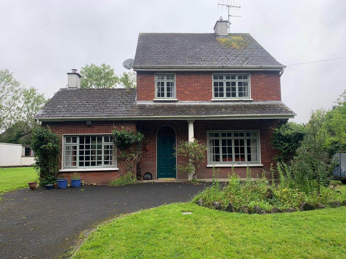 Enclosure in CommonEnclosure · 906 yd
 Burial Ground for ChildrenChildren's burial ground · 1169 yd
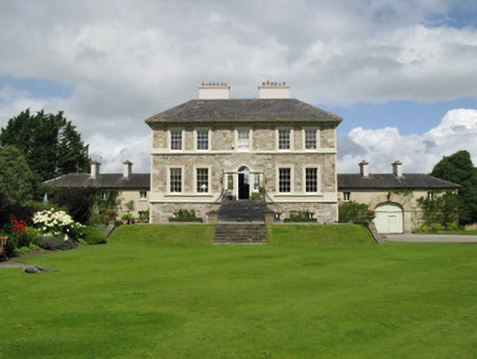 Ballyneale Housecountry house · 1705 yd
 Famine stoneMemorial · 1.2 mi
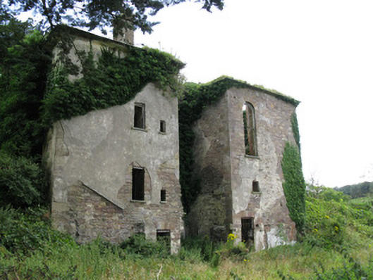 Ballynoe Housecountry house, stables · 1.3 mi
 KnockfeerinaMountain / peak · 1.4 mi
 Hachured (1923).Castle, motte · 1.8 mi
 Castle (in ruins)Castle, tower house · 2.0 mi
 Our Lady's WellSpring · 2.9 mi
 Lady's WellSpring · 3.8 mi
 Flat cemetery in Kiltenan SouthFlat cemetery · 4.6 mi
 Dysert AenghusaHeritage attraction · 5.6 mi