What is recorded here
Fairy fort in Ballyegny More is a broken earthen ring on a north-facing slope, not a magical palace. Its bank rises to 2.35m where the land falls away, while a wide fosse and smaller outer bank still trace the circle beneath trees and pasture. People may have lived, hid or marked territory there before the house avenue came; the fairies are only the name left behind when the human purpose faded from memory.
In pasture, on N-facing slope and immediately N of avenue to Ballyegny House. Circular area (30.5m N-S; 31.5m E-W) enclosed by earthen bank (int. H 0.4m; ext. H 1.5m), with external fosse (Wth 3.75m) SSW->SSE, and with counterscarp bank (int. H 0.45m; ext. H 0.65m) NNE->SSE. Bank increases in external height (max. H 2.35m) on N side to compensate for slope of ground; internal height is low throughout. Fosse is covered by dense overgrowth SSW->NNW. Interior, which slopes gently down to N, and bank are covered by mature deciduous trees. Field boundary abuts edge of fosse at NNE and a low earthen bank (Wth c. 1.5m; H 0.2m) crosses fosse at SE.
Compiled by: Denis Power
Date of upload: 26 August 2011
The monument record does not grant public access. Check the route and ask the landowner before entering private land.
- What survives
- Recorded monument
Places near here
 IndicatedFairy fort / earthen ringfort · 292 yd
 Ballyegny Househouse · 440 yd
 Mound in Ballyegny BegMound · 619 yd
 Castle (in ruins)Castle, tower house · 672 yd
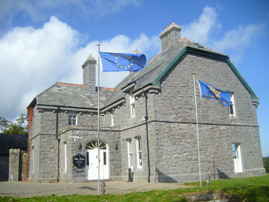 Rathgoonan Housecountry house · 970 yd
 St. Luke's WellSpring · 1.2 mi
 CahermoyleCastle, unclassified · 1.3 mi
 St. Kieran's WellSpring · 2.1 mi
 European ashEuropean ash · 4.8 mi
 Limerick GreenwayWalking route · 6.3 mi
 Gammarel PointHeadland · 6.6 mi
 Monterey CypressMonterey Cypress · 6.9 mi