What is recorded here
No visible chamber, no standing wall, no chambered tomb marker. Only a shallow earthen ring in open pasture, wide enough to walk around and low enough to jump. That is what survives. The missing chamber may have been buried, broken or never built. The visible ring may be all the chamber ever needed.
Internal diameter 22m N-S, 24m E-W
Situated in pastureland, with good views in all directions, this site consists of a sub-circular area enclosed by a 6m wide earthen bank. The height of the bank rises to a maximum of 1m externally and .7m above the interior. The interior of the S through W to N sector has been defaced by the dumping of pig slurry. The landowner, Mr Behan, relates the existence of a Man-made underground passage (KE010-011001-), though no surface trace of it could be found. A 3m wide gap exists to the NW and a 2m wide gap to the E.
The above description is derived from C. Toal, ‘North Kerry Archaeological Survey’. Dingle. Brandon in association with FAS Training and Employment Authority (1995), no. 383. In certain instances the entries have been revised and updated in the light of recent research.
Date of upload: 2 August 2013
The monument record does not grant public access. Check the route and ask the landowner before entering private land.
- What survives
- Recorded monument
Places near here
 LismoyleArchaeological place · 1698 yd
 Saint Teresa's Catholic Churchchurch/chapel · 1.1 mi
 Bawn in GlouriaBawn · 1.4 mi
 Bawn in BallydonohoeBawn · 1.4 mi
 ToberboyHoly well · 1.4 mi
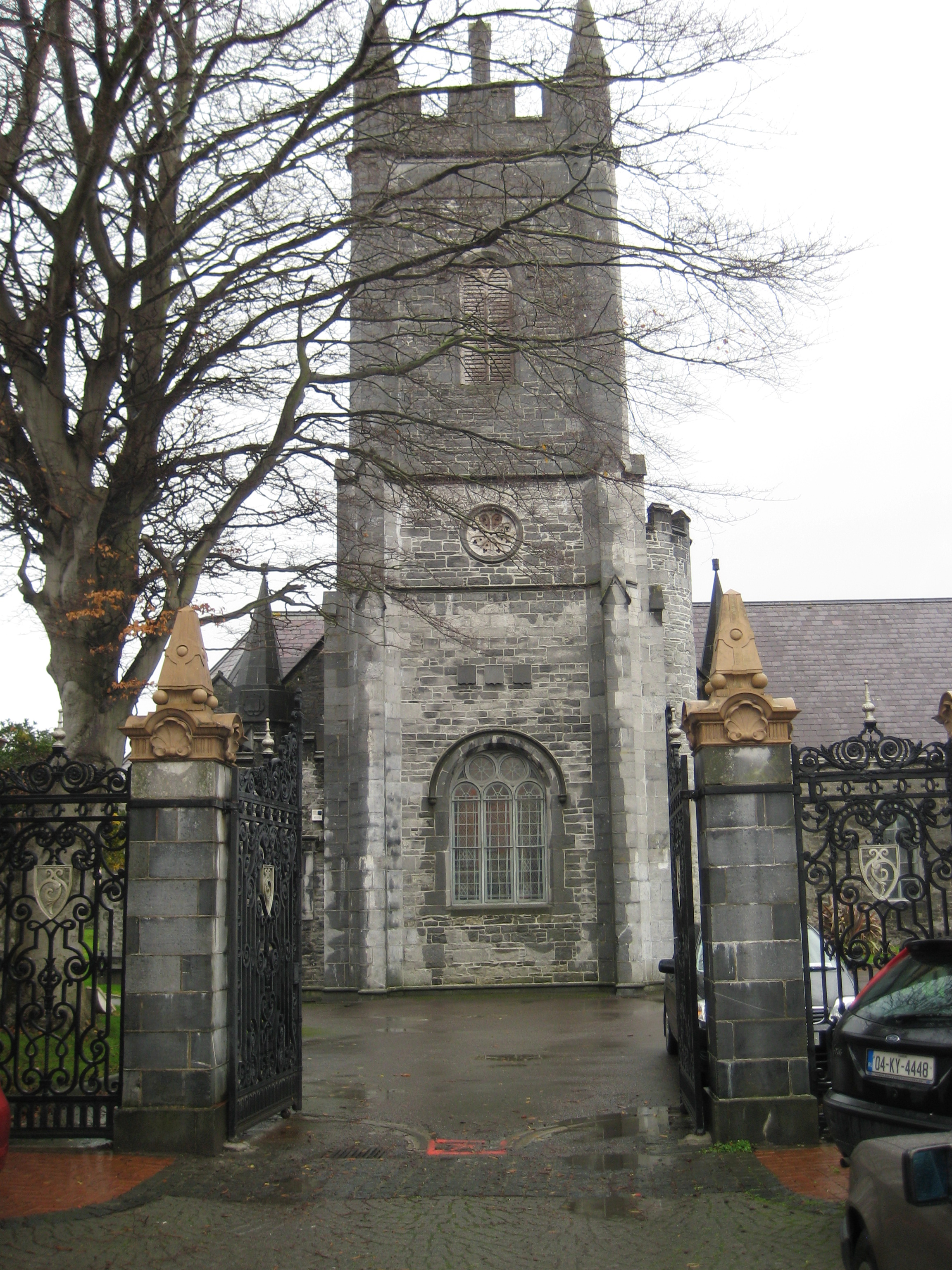 Galey Church (in ruins)Church · 1.5 mi
 KnockanoreMountain / peak · 3.7 mi
 Crazy GolfHeritage attraction · 3.7 mi
 Lartigue MonorailMuseum · 3.8 mi
 John B. Keane GroveMemorial · 3.9 mi
 Bryan MacMahonMemorial · 4.2 mi
 Long StrandBeach / strand · 4.9 mi