What is recorded here
Fairy fort in Ballyea, County Limerick: a 45-metre embanked ring on a low rise, drawn on the 1923 map but now smothered in overgrowth. What remains visible is a scarped edge, shallow inner lip, wide external fosse and counter-scarp bank, the kind of compact defensive shape people could have lived, argued, hidden or worshipped inside. The countryside has done what it always does: taken back the line and waited for someone to drag the branches aside.
In undulating pasture, straddling SE-facing edge of low rise. Monument, depicted as embanked circular enclosure (diam. c. 45m) surrounded by field boundary on 1923 OS 6-inch map, is now covered by dense overgrowth. Short section of enclosing element was accessed at E, and consists of scarped edge with slight inner lip (int. H 0.2m; ext. H 1.15m) with external fosse (Wth 2.8m) and counter-scarp bank (int. H 0.9m; ext. H 1.75m).
Compiled by: Denis Power
Date of upload: 26 August 2011
The monument record does not grant public access. Check the route and ask the landowner before entering private land.
- What survives
- Recorded monument
Places near here
 IndicatedFairy fort / earthen ringfort · 1072 yd
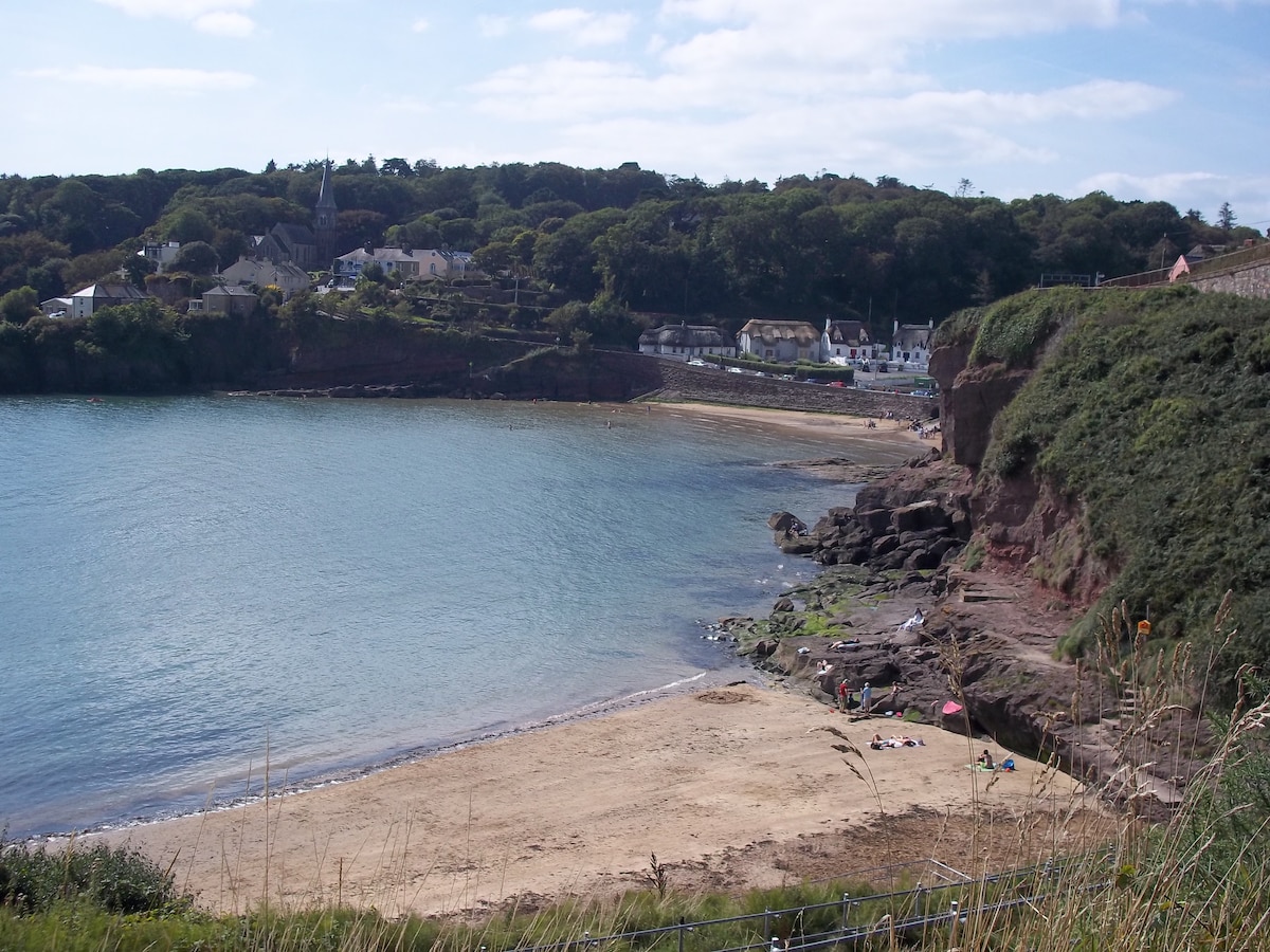 Enclosure in KilleaEnclosure · 1097 yd
 Kiln in Kiltenan SouthKiln · 1.1 mi
 Flat cemetery in Kiltenan SouthFlat cemetery · 1.2 mi
 Bawn in Amogan MoreBawn · 1.3 mi
 Church (in Rns)Church · 1.3 mi
 Castle (in ruins)Castle, unclassified · 1.3 mi
 Flat cemetery in CroaghFlat cemetery · 2.2 mi
 Kinnoor WellSpring · 3.3 mi
 KnockfeerinaMountain / peak · 3.7 mi
 GinkgoGinkgo · 4.5 mi
 European YewEuropean Yew · 4.5 mi