What is recorded here
Marianne and Caimin climbed the bank at Ballydrohid, touching green moss and smooth stone while the child asked why the fort was empty. The woman smiled and told her the small people had left the circle behind when they flew to the hills. She had hidden a copper coin under the bank for them to find, but the child kept it in her pocket because the small people could take it back if they wanted.
Depicted on the 1838 edition of OS 6-inch map as a circular enclosure, the interior of which has been planted with trees.
Compiled by: Caimin O'Brien.
Date of upload/revision: 18 January 2012
The monument record does not grant public access. Check the route and ask the landowner before entering private land.
- What survives
- Recorded monument
Places near here
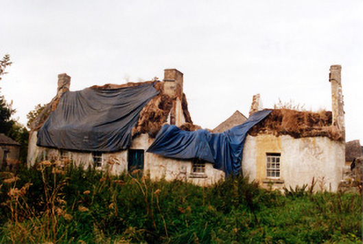 farm housefarm house · 230 yd
 Srah Bridgebridge · 283 yd
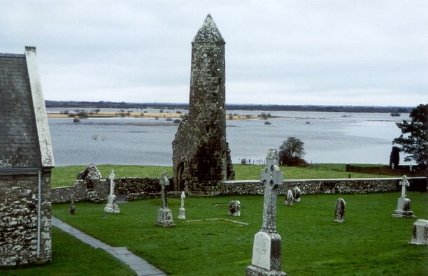 SkeaghacrogheryRitual site, holy tree/bush · 681 yd
 Enclosure in Ballydrohid,ballynagh,srah (ballycowan By.)Enclosure · 829 yd
 Srah CastleRuins · 1027 yd
 Bawn in BallydrohidBawn · 1039 yd
 Christ's WellSpring · 1448 yd
 Charleville ForestWood · 1753 yd
 Pedunculate OakPedunculate Oak · 1.0 mi
 Grand Canal WayWalking route · 1.9 mi
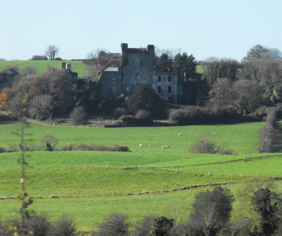 St O'Hara's HillMountain / peak · 2.3 mi
 Ardnagross WellSpring · 2.4 mi