What is recorded here
Depicted on the 1838 edition of OS 6-inch map as a circular enclosure, the interior of which has been planted with trees.
Compiled by: Caimin O'Brien.
Date of upload/revision: 18 January 2012
The monument record does not grant public access. Check the route and ask the landowner before entering private land.
- What survives
- Recorded monument
Places near here
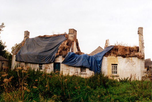 farm housefarm house · 230 yd
 Srah Bridgebridge · 283 yd
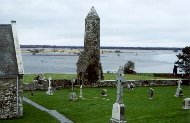 SkeaghacrogheryRitual site, holy tree/bush · 681 yd
 Enclosure in Ballydrohid,ballynagh,srah (ballycowan By.)Enclosure · 829 yd
 Srah CastleRuins · 1027 yd
 Bawn in BallydrohidBawn · 1039 yd
 Christ's WellSpring · 1448 yd
 Charleville ForestWood · 1753 yd
 Pedunculate OakPedunculate Oak · 1.0 mi
 Grand Canal WayWalking route · 1.9 mi
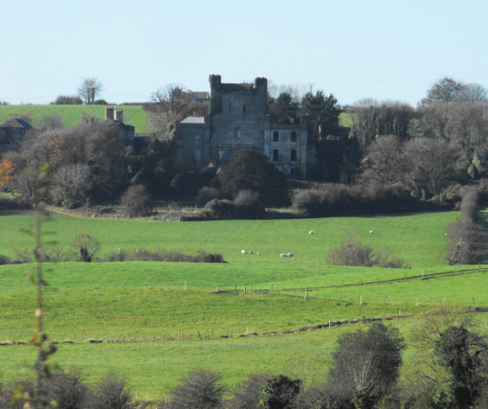 St O'Hara's HillMountain / peak · 2.3 mi
 Ardnagross WellSpring · 2.4 mi